
Urban & Regional Planning.
The service
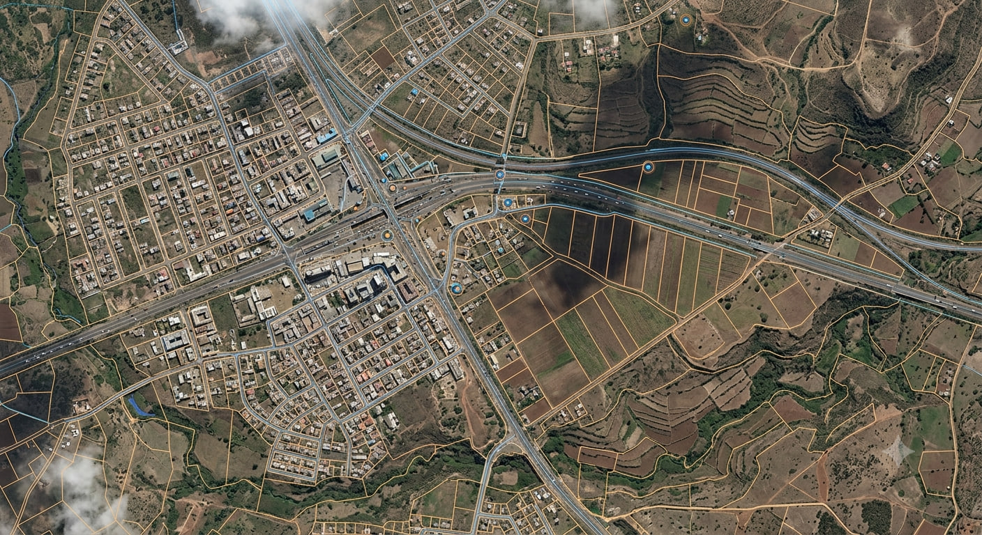
Urban and regional planning is a technical and political process of designing and organizing land use (including air and water), passing into and out of a planning area to promote equitable development, enhance quality of life, and address social, economic, and environmental constraints.
01 · Approach
How we work.
Our key components of urban and regional planning include land use planning, physical planning, transport planning, urban design, environmental planning, community development, and economic development.
Land use planning
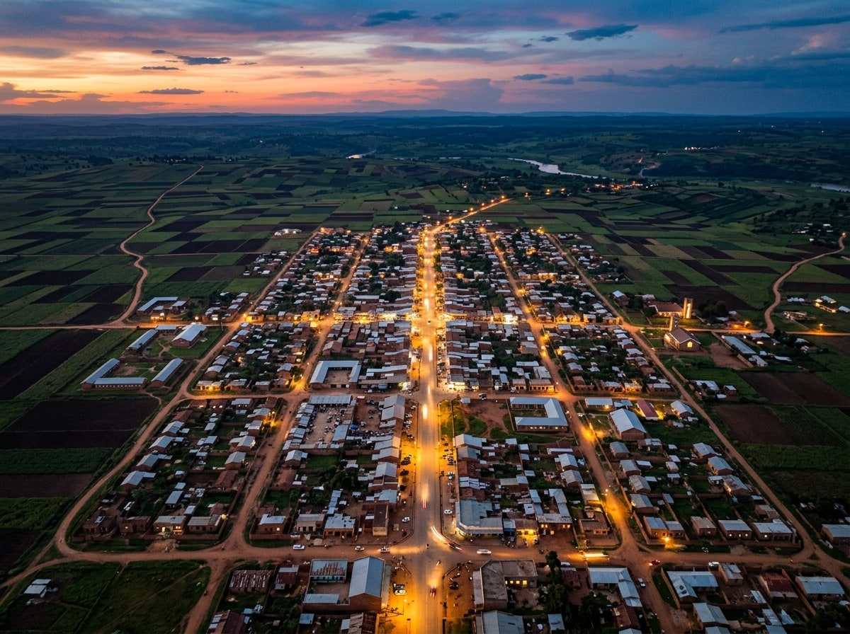
We focus on the allocation and regulation of land for various uses such as residential, commercial, industrial, agricultural, mixed-use developments, transportation, public spaces, public utilities, and public purposes — in summary, the “what” and “where” of land use allocation and regulation.
Physical planning
We deal with designing and organizing physical infrastructure within planning jurisdictions.
Urban planning
We develop comprehensive urban designs, master plans, and zoning regulations to guide and control development in urban areas.
02 · Deliverables
Plans we prepare.
- National Physical and Land Use Development Plans.
- Inter-County Physical and Land Use development plans.
- County Physical and Land Use Development Plans.
- Local Physical and Land Use Development Plans (In relation to a city, municipality, town or market centers).
- Special Area Plans.
- County Spatial Plans (CSPs).
- Master Plans.
- Integrated Strategic Urban Development plans (In relation to a city, municipality, town or market centers).
- Land use zoning plans.
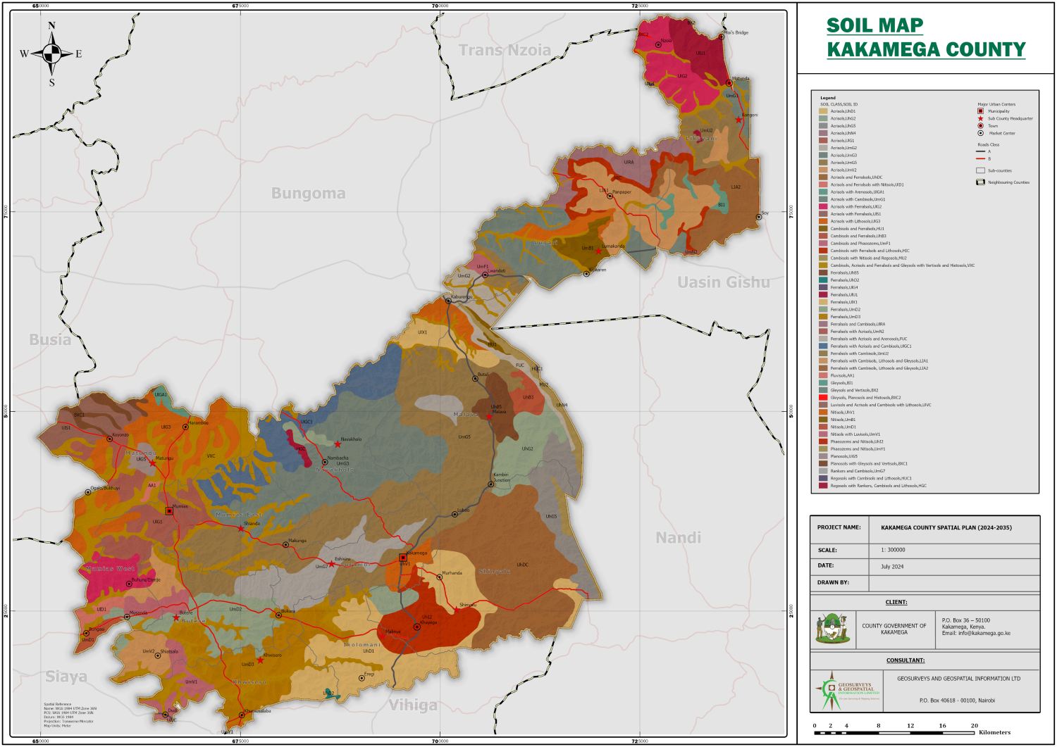
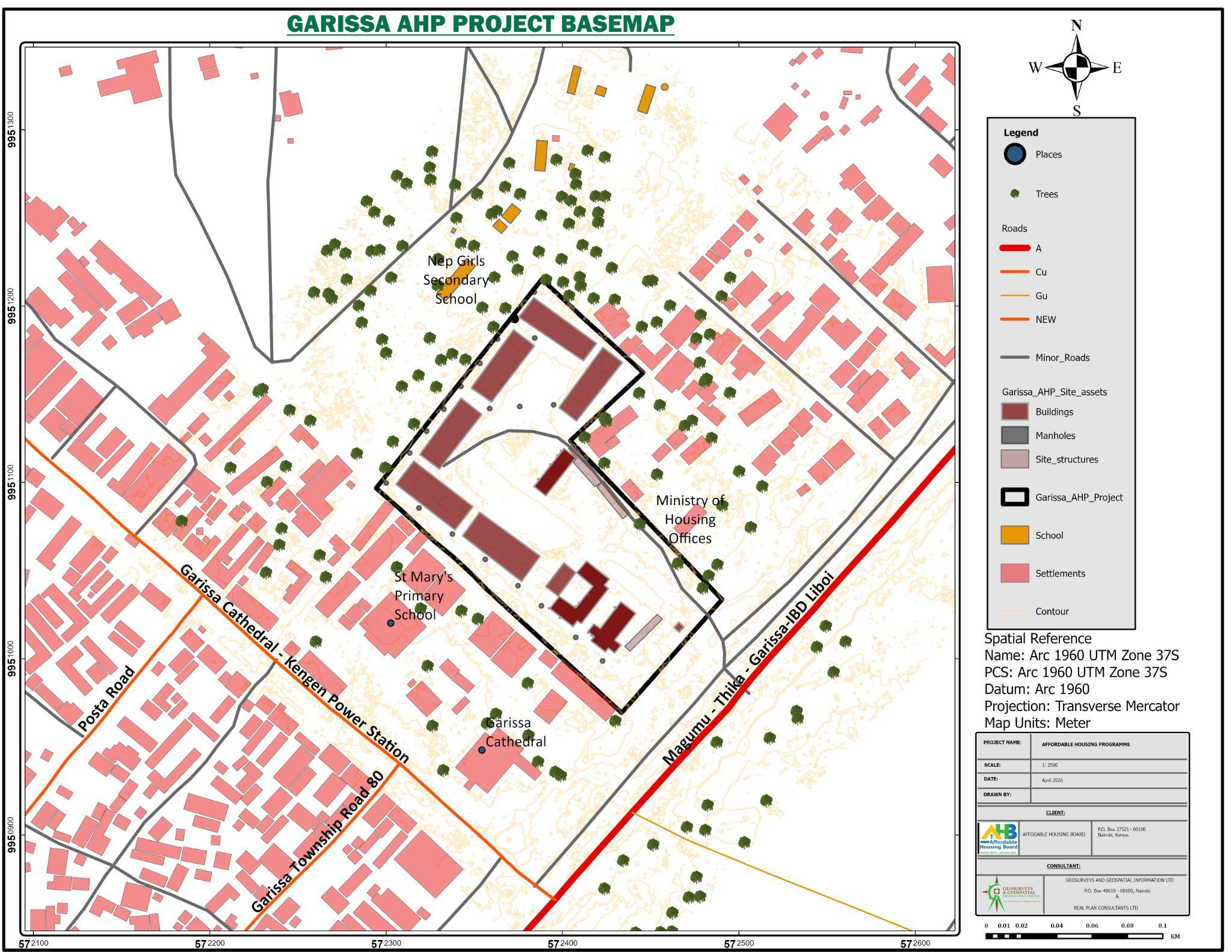
- Spatial data collection, collation and mapping.
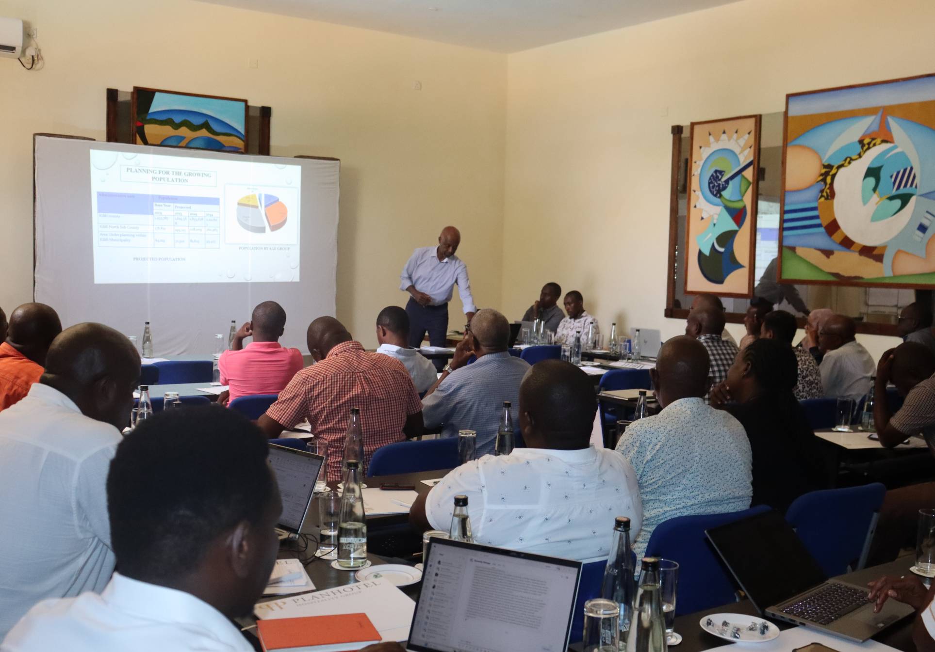
- Community Development and advocacy planning.
03 · Development control
Getting a proposal approved.
- Change of user.
- Extension of user.
- Extension of lease.
- Processing of easements and wayleaves.
- Siting of critical infrastructure such as education facilities, petrol stations, base transmission stations, industries, power generation plants, eco-lodges and campsites.
- Subdivision schemes and amalgamation proposals.
FAQs
Frequently asked questions.
Can GIS intelligence improve urban and regional planning?
Yes, GIS intelligence helps planners analyze land use, optimize infrastructure, and plan sustainable urban growth.
How does GIS improve urban and regional planning?
GIS provides planners with spatial data to analyze land use, infrastructure, and environmental factors, helping design more efficient, sustainable urban environments.
How can AI and location intelligence optimize urban planning?
AI and location intelligence offer predictive analytics for population growth, traffic management, and resource distribution, enabling smarter, data-driven urban planning decisions.
Can GIS help in physical and land use planning?
Yes, GIS maps zoning, land use, and development trends, ensuring well-planned infrastructure and sustainable land use practices.
Ready when you are
Tell us the area. We will tell you what it takes.
020 765 0202 · +254 794 338133 · info@geosurveysandgeospatialinfo.co.ke