
For county land offices
Land Information Management System
A county land office, online. Residents search a parcel, clear their rates, apply for a service and follow it through, signing in with a National ID rather than queuing at a counter. Staff work the same records from a dashboard, on the same cadastre.
- Product
- ShambaHub
- Sign-in
- National ID
- Payment
- M-Pesa
- Records
- One cadastre, for residents and staff
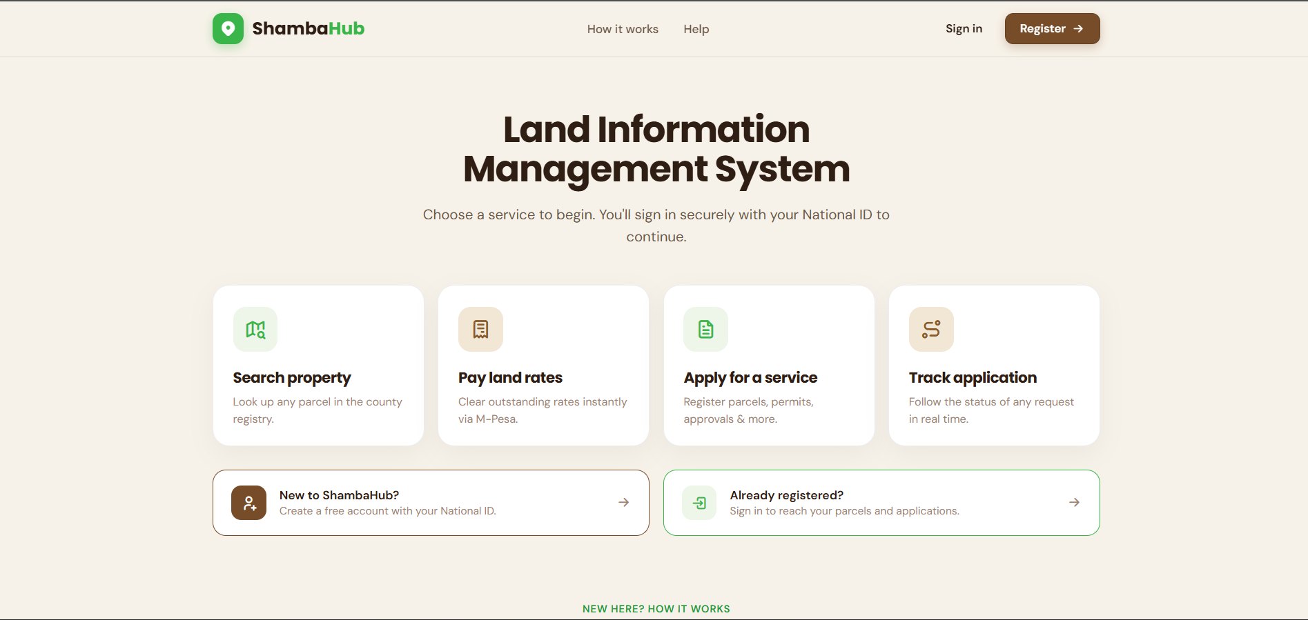
What residents can do
Search property
Look up any parcel in the county registry.
Pay land rates
Clear outstanding rates instantly via M-Pesa.
Apply for a service
Register parcels, permits, approvals & more.
Track application
Follow the status of any request in real time.
How it works
Sign in or register
Use your National ID to create an account or reach an existing one.
Pick your service
Search a parcel, pay rates, apply for a service, or track a request.
Track & pay online
Upload documents, pay fees and get real-time status updates.
For the county
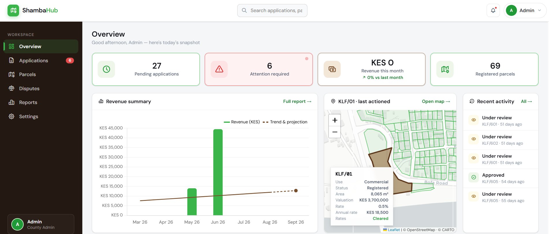
Behind the citizen portal is a staff dashboard on the same records. An application raised by a resident, the parcel it concerns and the applicant stay linked from submission through to approval, and every parcel resolves to a boundary on the map.
- Overview: what is in the queue and what moved.
- Applications: review, approve or return a request.
- Parcel register: registered, pending and disputed at a glance.
- Parcel map: the cadastre, with any parcel locatable from a record.
- Disputes: parcels flagged and the cases against them.
- Reports: the register and activity, exportable.
The cadastre underneath
The system runs on a real cadastral layer rather than a list of parcel numbers. Every record ties to a mapped boundary, so “view on map” resolves, and a parcel that is on the ground but not yet on the register is visible as exactly that.
Which is the part GGIL brings to it. Digitising registry index maps, reconciling them against what is on the ground and keeping the layer current is survey and GIS work, and it is what separates a land information system from a payments form.
See it running
Built for a county.
020 765 0202 · +254 794 338133 · info@geosurveysandgeospatialinfo.co.ke