
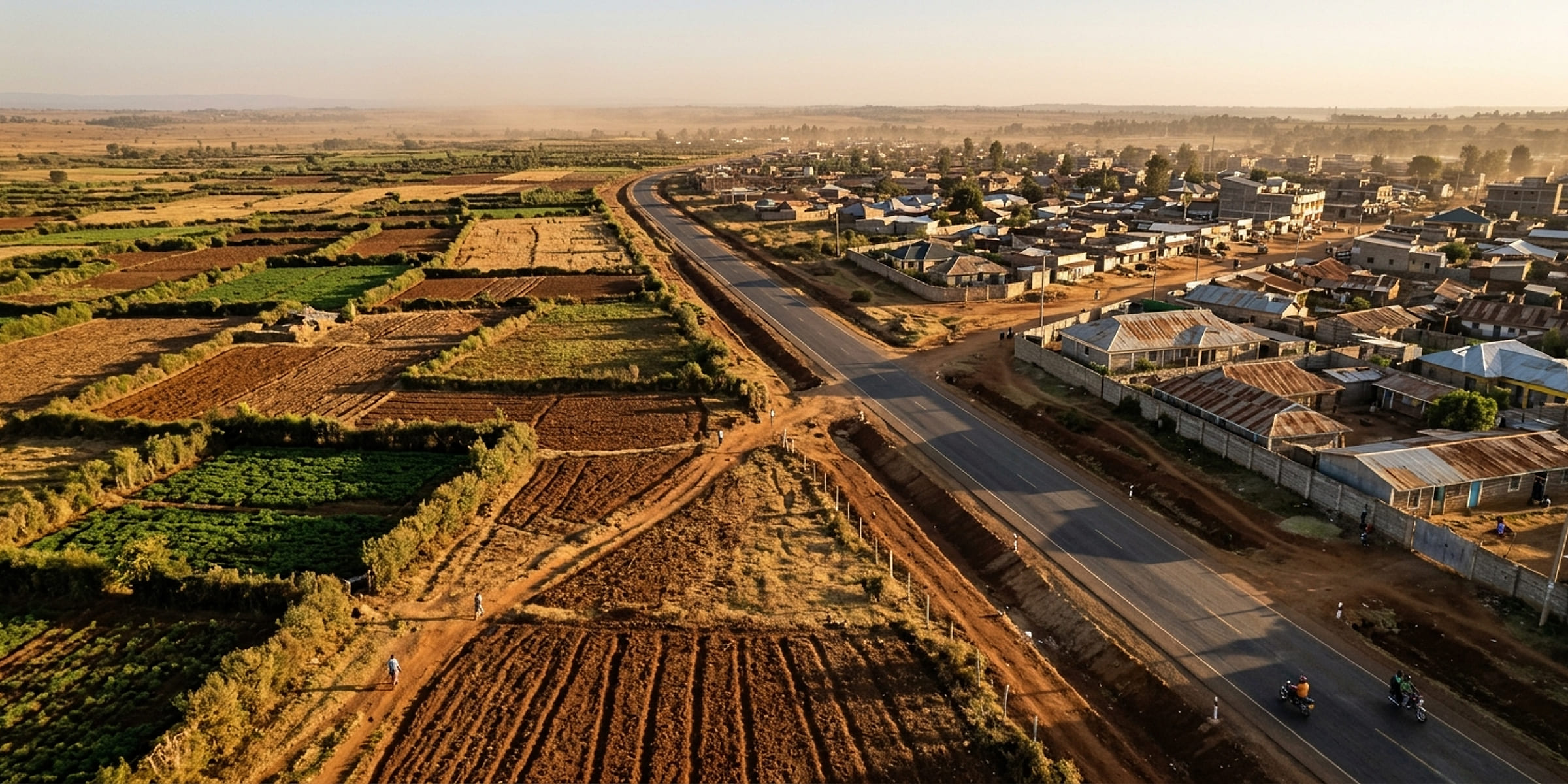
What we do.
Our services
Most projects draw on more than one of these. They are listed separately because that is how they are scoped and priced, not because they are delivered separately.
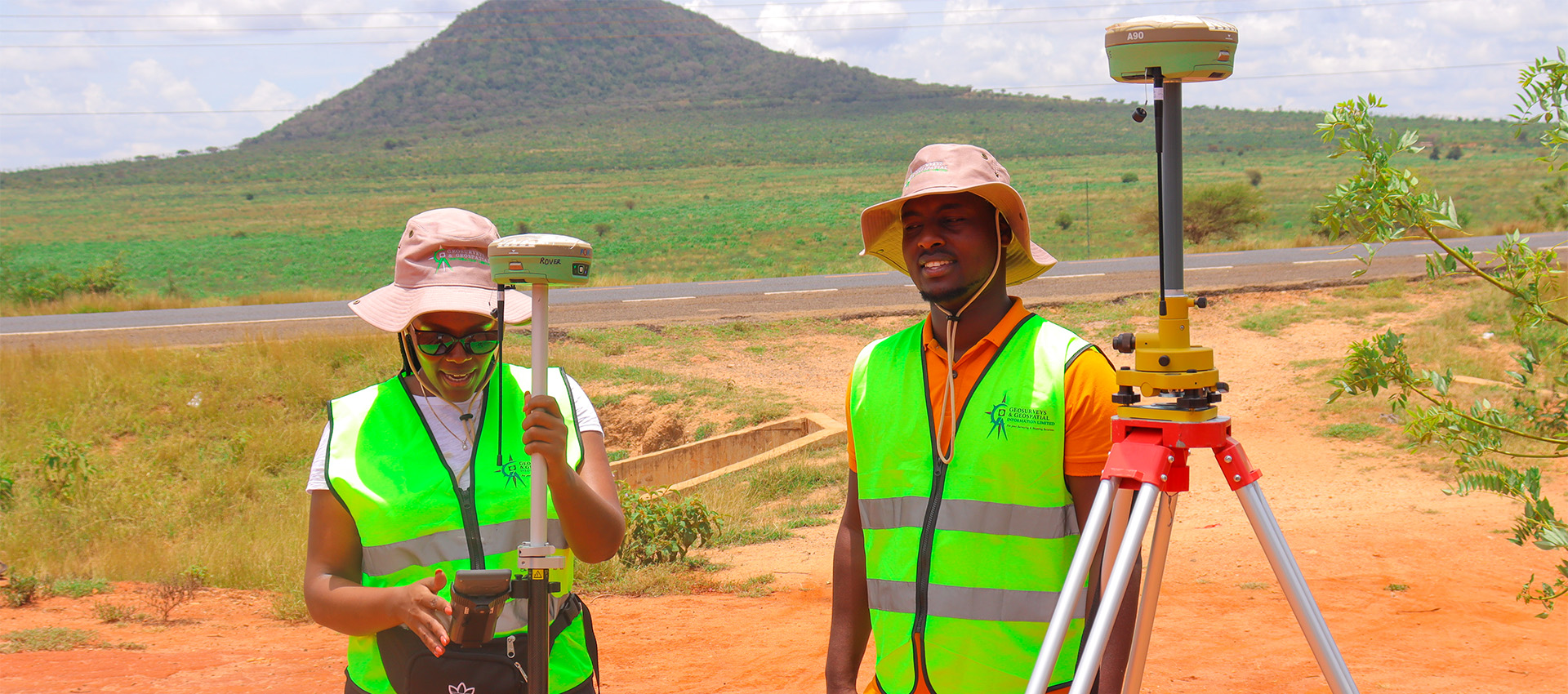
Cadastral Survey
Subdivisions, mutations, beacon re-establishment and title-ready records lodged with Survey of Kenya.
View service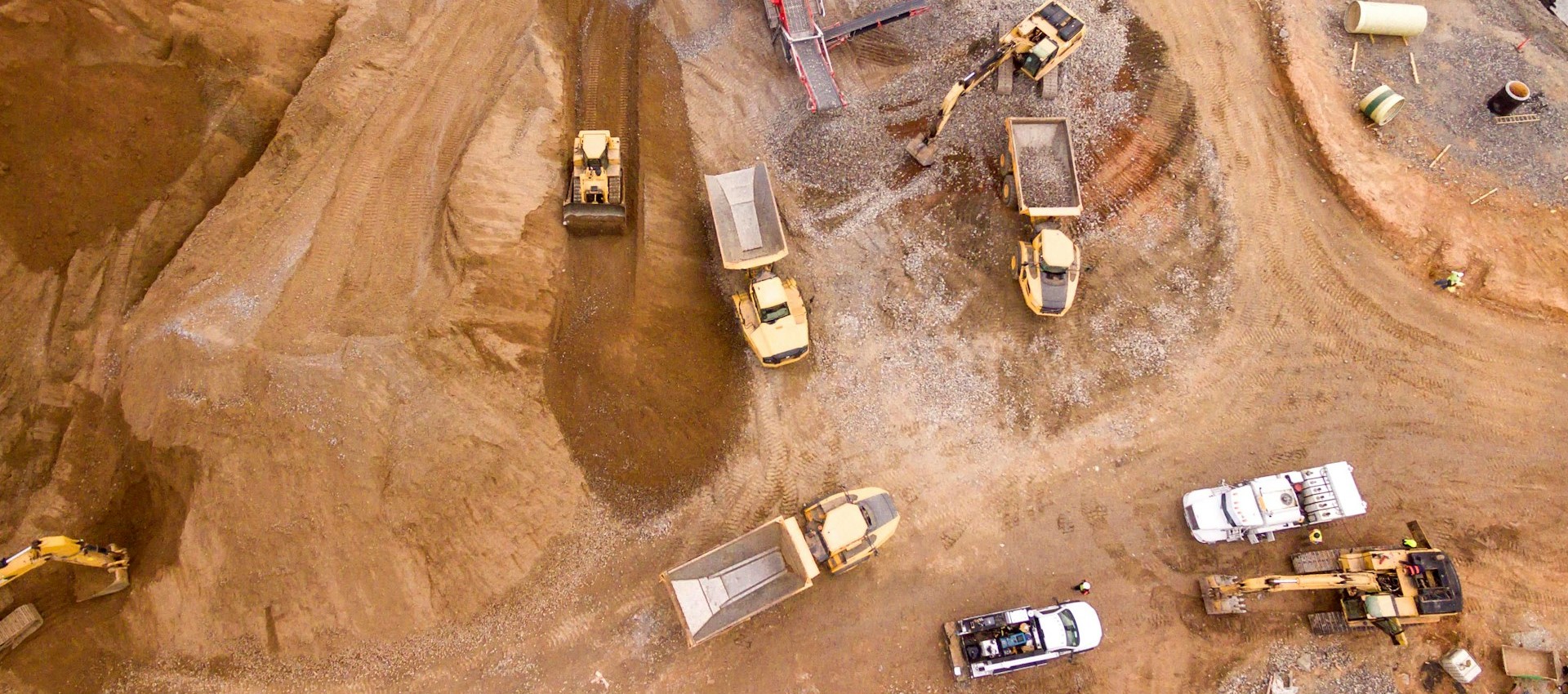
Engineering Survey
Topographical surveys, levelling, control networks and setting out for roads, water and buildings.
View service
Urban & Regional Planning
County spatial plans, local physical and land use development plans, PDPs and public participation.
View service
GIS & Mapping
Spatial databases, thematic mapping, web GIS, geoportals and land information systems (LIMS).
View service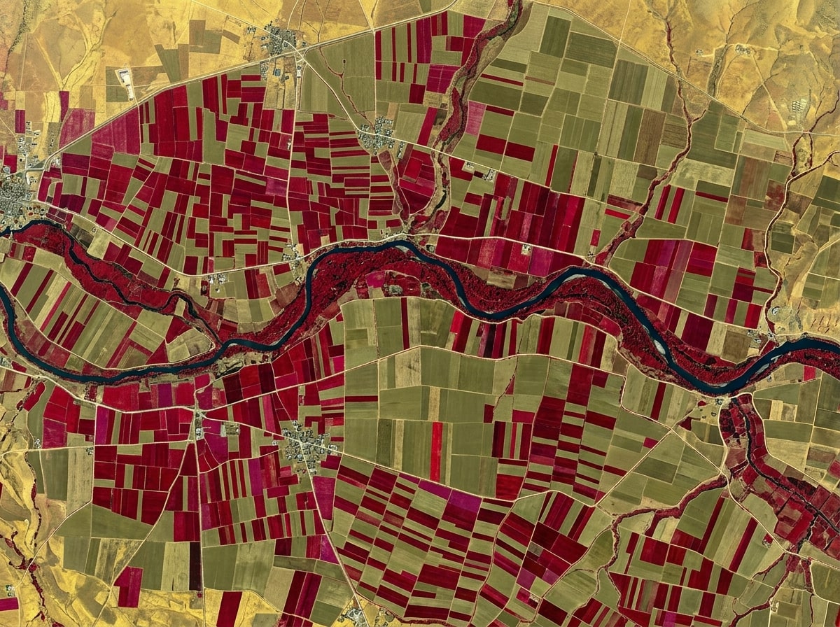
Remote Sensing
Active and passive sensor analysis, satellite imagery supply, change detection and land cover studies.
View service
Environmental Services
ESIA and audit studies, environmental monitoring and NEMA-facing documentation.
View service
Equipment Repair & Maintenance
Repair, preventative maintenance, calibration and on-site support for total stations, GNSS receivers and levels.
View service
ICT Solutions
Microsoft 365 licensed in KES, email migration and security, ArcGIS licences and administration, and Lenovo, Dell and HP business laptops.
View serviceNot sure which you need?
Describe the problem. We will tell you what it takes.
020 765 0202 · +254 794 338133 · info@geosurveysandgeospatialinfo.co.ke