
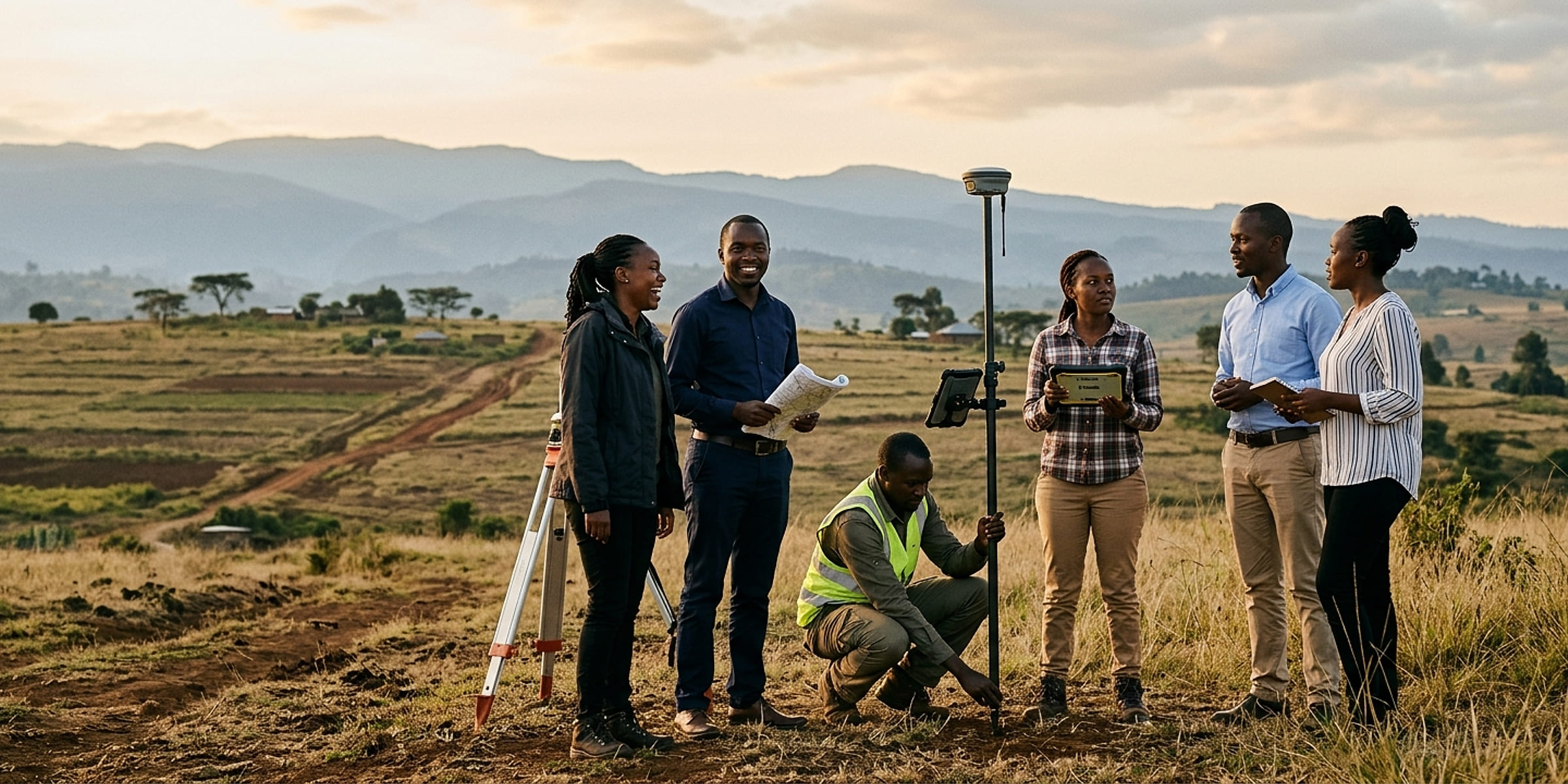
The team.

Makena Muturia
Managing Director · Geomatic Engineer
Geomatic engineer with extensive expertise in surveying, mapping and geospatial technologies. She holds a BSc in Geomatic Engineering and Geospatial Information Systems from Jomo Kenyatta University of Agriculture and Technology and is pursuing an MA in Environment and Natural Resources Law at the University of Nairobi. A registered full member of the Institution of Surveyors of Kenya, she has worked with government ministries, international organisations and private sector clients on sustainable development and efficient land management.
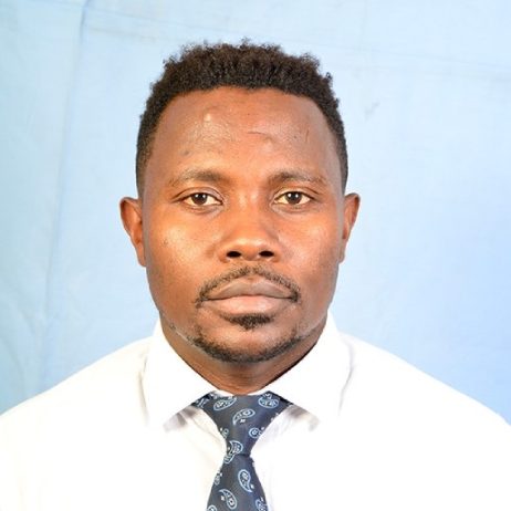
Dr David Maserati Makori
Environmental Planner
Geospatial scientist, environmental planner and landscaper with over fifteen years' experience, a PhD in Geography from the University of KwaZulu-Natal, a master's in Environmental Planning and Management from Kenyatta University and a bachelor's in Landscaping from JKUAT. A lead environmental expert, he leads strategic environmental assessments, impact assessments and audits, and works in geospatial modelling and machine learning, land cover, climate resilience, catchments, solid waste, hydrological modelling and disaster risk.
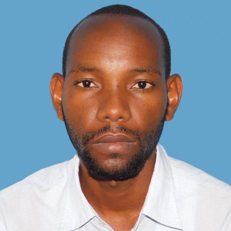
Johnstone M. Mutambuki
Geospatial Engineer | Land Surveyor
Geospatial engineer specialising in land surveying, with over five years of field experience and a grounding in cartography, remote sensing and GIS. He surveys boundaries, topography and land features with GPS and modern survey instruments, works with architects, engineers and construction teams, and turns the data into maps and reports in Autodesk Civil 3D, AutoCAD, ArcGIS Pro and Agisoft Metashape.

Rachael Muthaka
Head of GIS & Remote Sensing
GIS and remote sensing expert with over seven years in geospatial information management, spatial analysis and remote sensing. She leads GGIL's GIS and remote sensing work, from project planning and workflow design to field data, quality assurance and decision-support tools, across planning, infrastructure, environment and climate projects. A member of the Institution of Surveyors of Kenya (Geospatial Information Management Surveyors Chapter) and a KCAA-licensed UAV pilot, she also trains others in GIS and remote sensing.
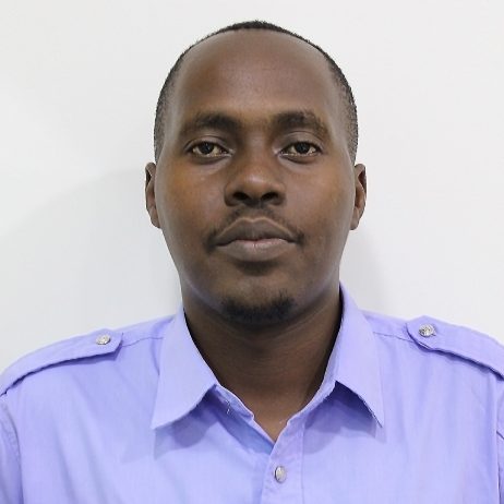
Brian Mwenda
Urban Planner & Geospatial Analyst
Urban and regional planner with five years in urban and land use planning, geospatial analytics and research, a degree in Urban and Regional Planning from Maseno University, and membership of the Kenya Institute of Planners. He worked on the Kakamega County Spatial Plan and the Kilifi Municipality ISUDP as an assistant urban planner, and designed the database and web GIS for road furniture inventory surveys. Esri Eastern Africa trained in ArcGIS Pro and ArcGIS Online.

Angela Robb
Business Administrator
Business and operations leader across business administration, commercial operations, project management, strategic planning and people leadership. She turns GGIL's strategy into practical action, strengthening business processes, client engagement, commercial growth and operational performance. Her work spans process improvement, business development, resource and performance management and stakeholder engagement, and building the systems that give teams clarity and accountability.
- 18,000+KM²
Surveyed, mapped & planned
- 200+
Projects delivered to date
- 100+
Clients & partners served