

Who we are.
The firm
We are a registered consultancy firm, established in Nairobi, Kenya in 2016 as Archgeo Consultants Limited. In 2018 the company was re-branded and incorporated as Geosurveys & Geospatial Information Limited. Our core services are geomatics-centred — the integrated approach of measurement, analysis and management of geospatial data.
Geospatial data is associated with specific locations. We assist organizations in designing and managing projects, solving pro-technical environmental issues, and conducting mapping and analysis of Big Data to derive solutions.
Our team comprises Land Surveyors, Engineering Surveyors, GIS & Remote Sensing experts, Urban & Regional Planners, licensed drone pilots for UAV mapping, environmental experts and skilled technicians who ensure successful project delivery. We maintain an excellent track record for client satisfaction and service delivery, never compromising professionalism, time or cost efficiency for our clientele.
Vision & mission
Vision
To offer standard, precise and exemplary services in Survey & Mapping.
Mission
To remain competent, time-bound and efficient in the delivery of results, and to be at the forefront of the mapping and surveying sector through quality, precision and reliability.
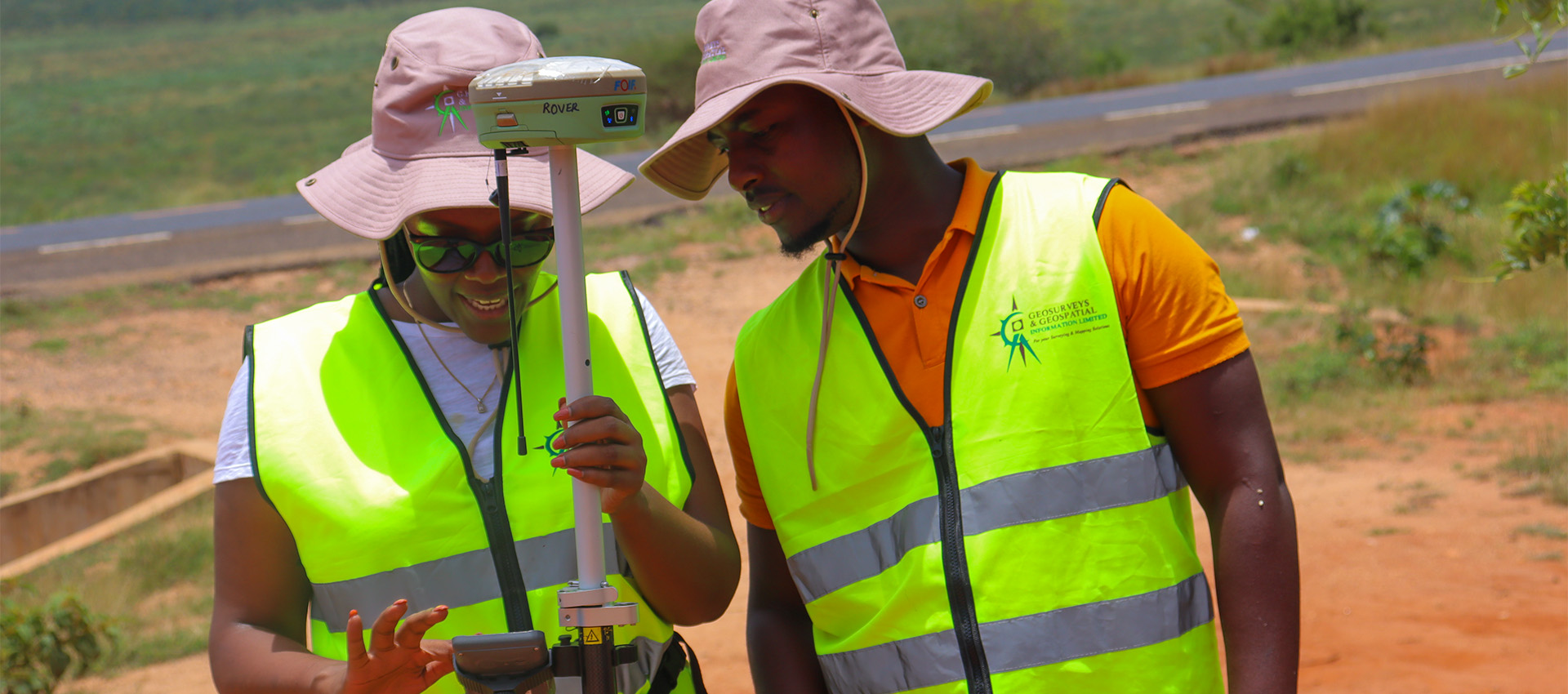
What we offer
We deliver advanced geospatial solutions that drive sustainable development: cadastral surveys for accurate land boundaries, GIS mapping for data visualisation, engineering surveys for precise infrastructure planning, remote sensing to monitor environmental change, physical planning for balanced land use, and environmental and social impact assessments to evaluate project impacts — all aimed at providing innovative and practical solutions.


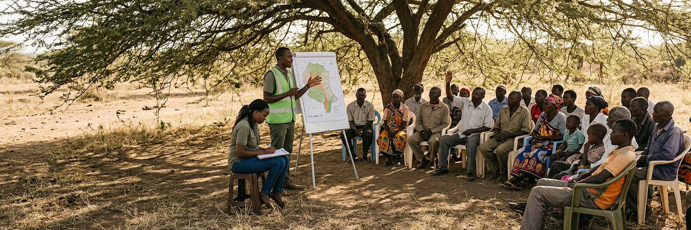
Our values
What we believe in.
Efficiency
Time and cost
Quality presentation
Output of staff
Transparency
Communication and accuracy
Confidentiality
Data security and client protection
Personalization
Client centred and highly motivated
FAQs
Frequently asked questions.
What is GIS and how does it benefit my business?
GIS (Geographic Information Systems) allows for mapping and analyzing spatial data, helping businesses make informed decisions based on geographic trends.
Do you offer custom geospatial solutions?
Yes, we tailor geospatial services to fit specific project needs, including mapping, data analysis, and more.
What industries do you serve?
We work with clients in urban planning, agriculture, real estate, environmental management, and government sectors.
How long does a typical survey project take?
Project timelines vary based on complexity, but we work efficiently to deliver accurate results within agreed deadlines.
Do you integrate your services with GIS software?
Yes, we provide geospatial data that can be easily integrated with popular GIS software platforms.
Ready when you are
Tell us about the project. We will map out what it takes.
020 765 0202 · +254 794 338133 · info@geosurveysandgeospatialinfo.co.ke