

GIS & Mapping.
The service
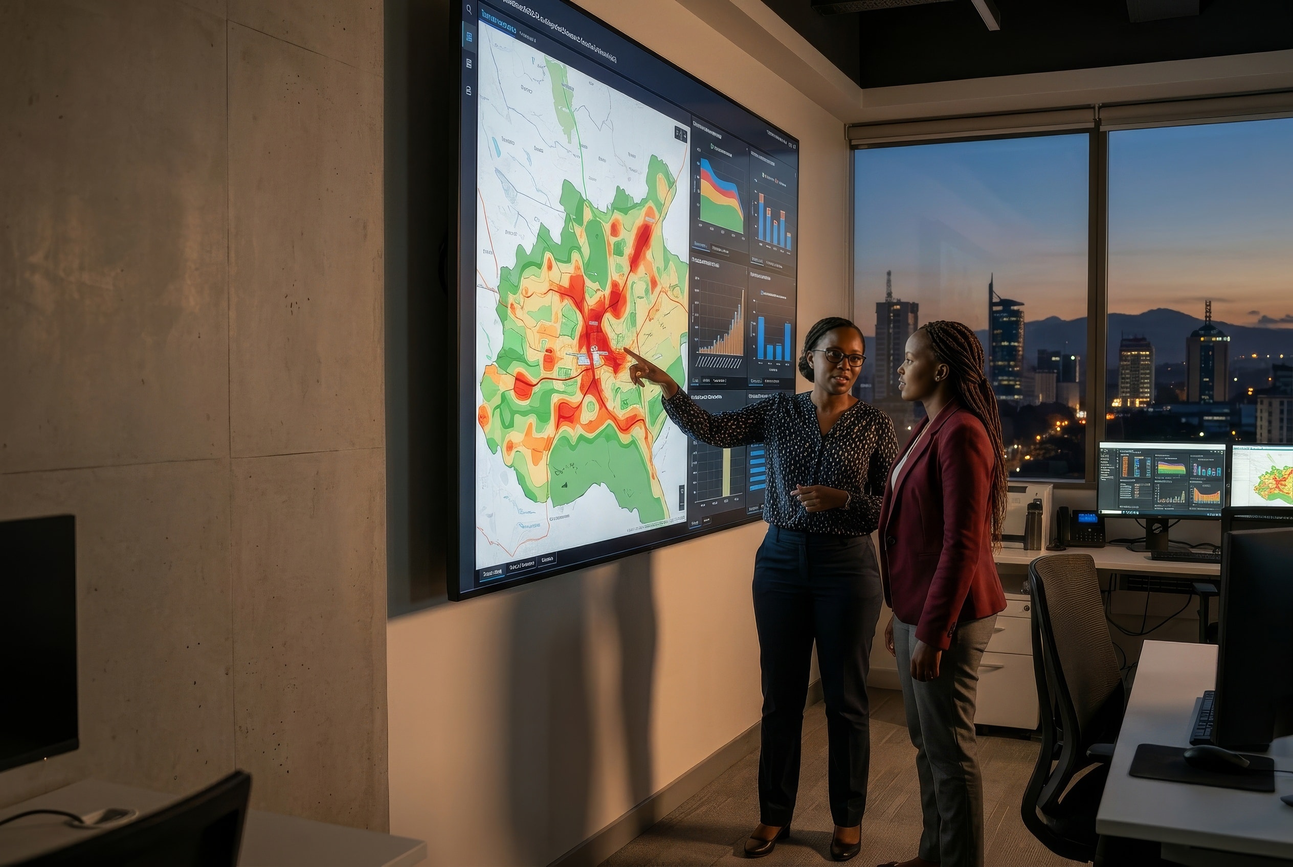
GIS (Geographic Information System) is a tool used to capture, store, manipulate, analyze, manage, and present spatial or geographic data. To achieve this, GIS integrates hardware, software, data, and people for capturing, managing, analyzing, and displaying all forms of geographically referenced information. These key components of GIS are then used to perform analysis and derive insights to make informed decisions.
01 · The case
Why it is worth doing.
Three things a GIS gives back, whatever the sector.
Better decisions
GIS is beneficial in improving decision-making by providing valuable insights through visualizing data on maps, enabling better decisions.
More efficiency
It also increases efficiency by automating tasks, reducing redundancies, and streamlining workflows.
Better planning
Additionally, GIS enables better planning by analyzing spatial relationships and predicting future trends.
02 · Application
Where it is applied.
GIS is mostly applied in the following fields.
Urban Planning
GIS is used to analyze land use, plan transportation networks, manage infrastructure, and optimize urban development.
Environmental Management
GIS helps in mapping and monitoring environmental changes, managing natural resources, analyzing ecological patterns, and planning conservation efforts.
Emergency Management
GIS aids in disaster response, evacuation planning, risk assessment, and resource allocation during emergencies and natural disasters.
Business Intelligence
GIS is used for market analysis, site selection, customer profiling, and optimizing business operations.
Health Care
GIS is used in disease mapping, health service planning, epidemiological studies, and analyzing health trends.
Natural Resource Management
GIS helps in managing land, water, and wildlife resources, monitoring deforestation, and planning sustainable resource use.
Transportation Planning
GIS is used to analyze transportation networks, optimize routes, manage traffic flow, and plan for infrastructure development.
Agriculture
GIS is used for precision farming, crop monitoring, soil analysis, and optimizing agricultural practices.
Forestry
GIS helps in forest management, timber tracking, wildfire mapping, and assessing forest health.
Utilities Management
GIS is used by utility companies to manage infrastructure, optimize service delivery, and plan for future growth.
Capability
What we bring to a GIS project.
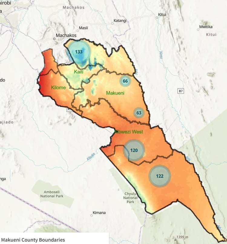
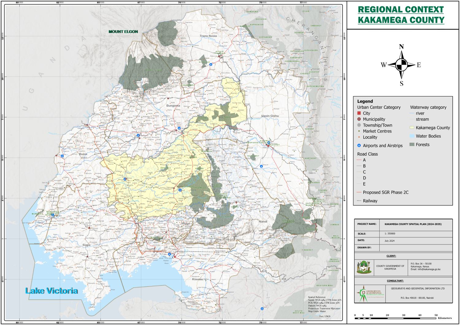
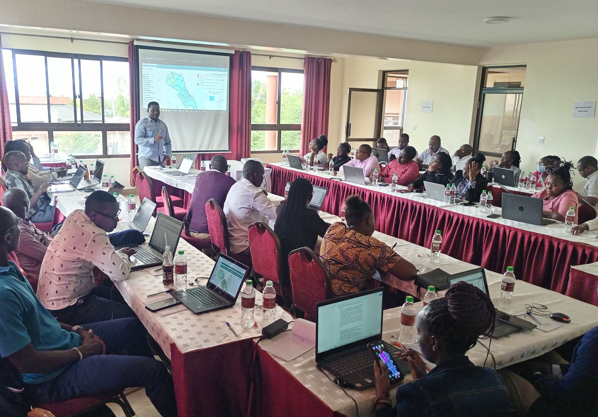
Our company has a strong capability in performing GIS projects, leveraging its expertise and resources to deliver high-quality solutions tailored to the needs of clients. We have a team of experienced GIS professionals with in-depth knowledge of geospatial technologies, data analysis, and project management. We provide customized GIS solutions to meet the specific requirements of clients, ensuring that the solutions are scalable, efficient, and cost-effective.
FAQs
Frequently asked questions.
How is AI integrated into GIS mapping services?
AI enhances GIS by automating data analysis, improving accuracy, and providing predictive insights for better decision-making.
What role does data visualization play in your geospatial services?
We use advanced data visualization techniques to present complex spatial data in interactive maps and dashboards for clearer insights.
Ready when you are
Tell us what you need to see.
020 765 0202 · +254 794 338133 · info@geosurveysandgeospatialinfo.co.ke