- Client
- Kakamega County
- Sector
- Physical and Land Use Planning
- Service
- Physical and Land Use Development Plans
- Location
- Kakamega, Kenya
- Listed under
- Urban & Regional Planning · GIS & Mapping
Project summary
Kakamega County, located in Western Kenya, is embarking on the development of an ambitious Physical and Land Use Development Plan—commonly referred to as the County Spatial Plan. This plan is designed to steer the county’s growth, ensuring sustainable, equitable use of resources while addressing critical challenges in urbanization, agriculture, and environmental conservation.
The brief
GeoSurveys and Geospatial Information Limited has been commissioned to create this comprehensive spatial plan.
The key objectives include:
- Strategic Spatial Planning: Crafting a spatial plan that integrates various sectors (economic, physical, social, and environmental) to foster sustainable development. This involves aligning county-level plans, such as the County Integrated Development Plans (CIDP) and urban strategies, to ensure cohesive growth.
- Balanced Urban and Rural Development: Developing a network of well-integrated settlements that bridge urban and rural areas, enhancing economic and social interactions. This also includes improving service delivery frameworks for municipalities.
- Agricultural Land Preservation: Addressing the pressures of high population density on agricultural land by implementing zoning and land-use regulations. This will protect agricultural areas critical for food security and prevent inappropriate land conversions.
- GIS-Based Land Administration: Establishing a GIS-based database to support land administration and resource inventory management. This system will provide a robust foundation for informed decision-making and resource allocation.
- Environmental Conservation: Protecting natural ecosystems such as Kakamega, Malava, Kisere, and other forests by implementing restrictive zoning plans. This effort will also promote eco-tourism by highlighting the county’s unique biodiversity, including rare bird species and butterflies.
The process: our work
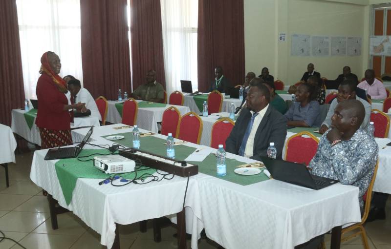
Inclusive and Participatory Approach
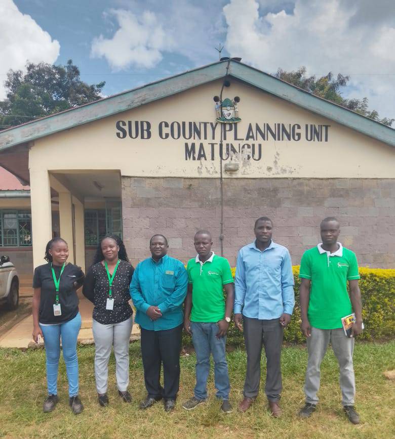
- Stakeholder Engagement: Consultative meetings with County Executives and experts from various professions and sectors.
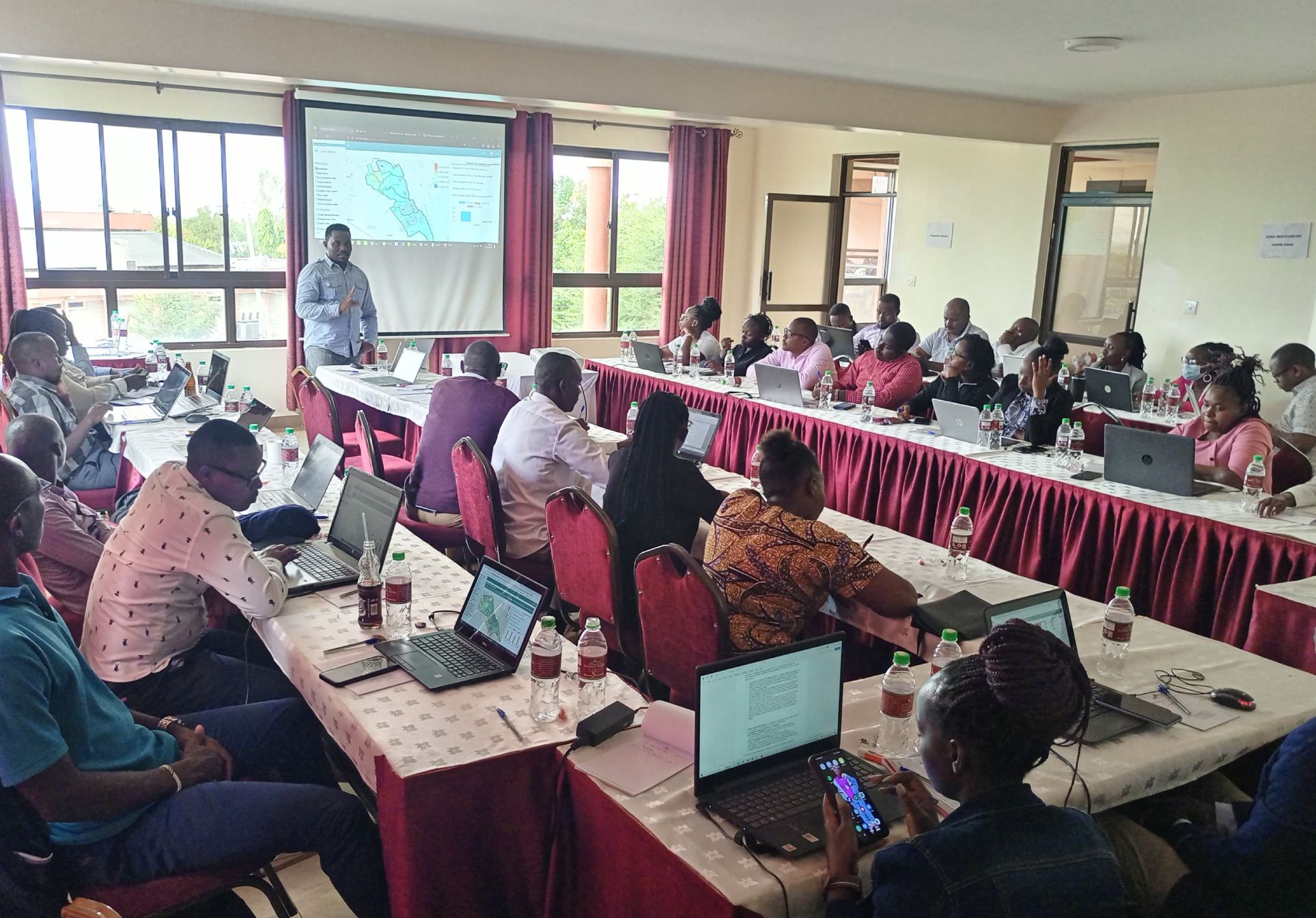
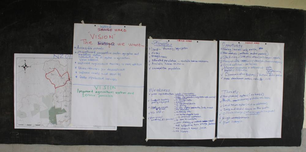
- Community Involvement: Workshops and work sessions to build consensus, sensitize stakeholders, and capture their aspirations.
- Collaborative Approach: Working together with stakeholders to ensure the plan aligns with the county’s needs and priorities.
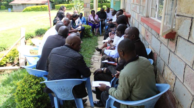
Multi-disciplinary and Multi-sectorial Approach
- Expert Collaboration: Involving experts from different fields (e.g., urban planning, environmental science, economics) to ensure a comprehensive plan.
- Sectoral Integration: Considering the interconnections between different sectors (e.g., agriculture, industry, infrastructure) for a holistic approach.
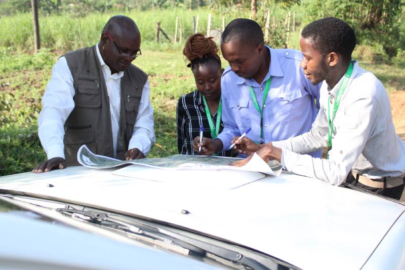
Research-Based Approach
- Desktop Research: Reviewing existing literature, best practices, and case studies to inform scenario building and generate an interim report.
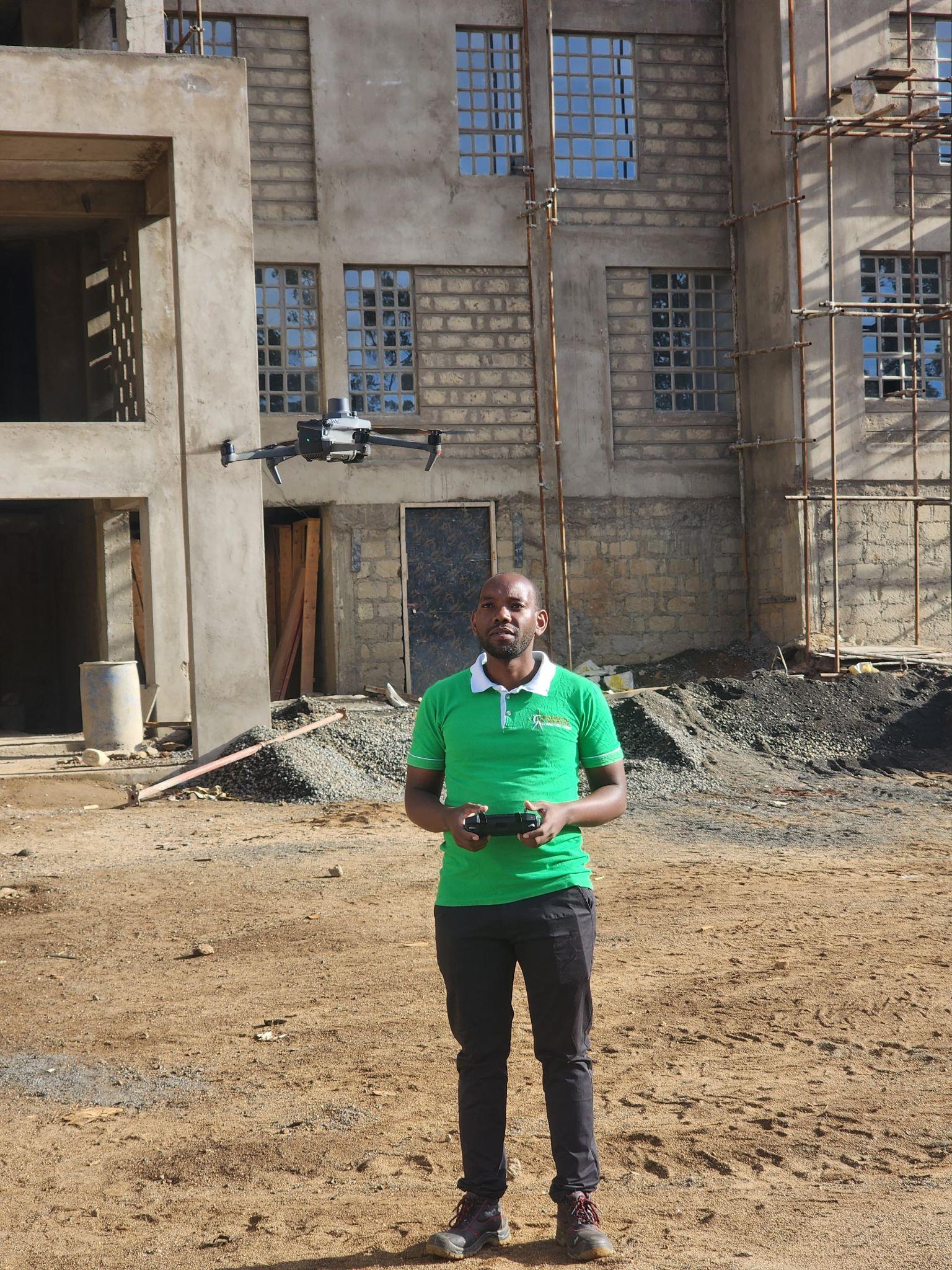
- Field Visits and Surveys: Identifying planning opportunities and challenges through on-site assessments and data collection.
- Land Use Profiling: Analyzing existing land uses to inform future planning decisions.
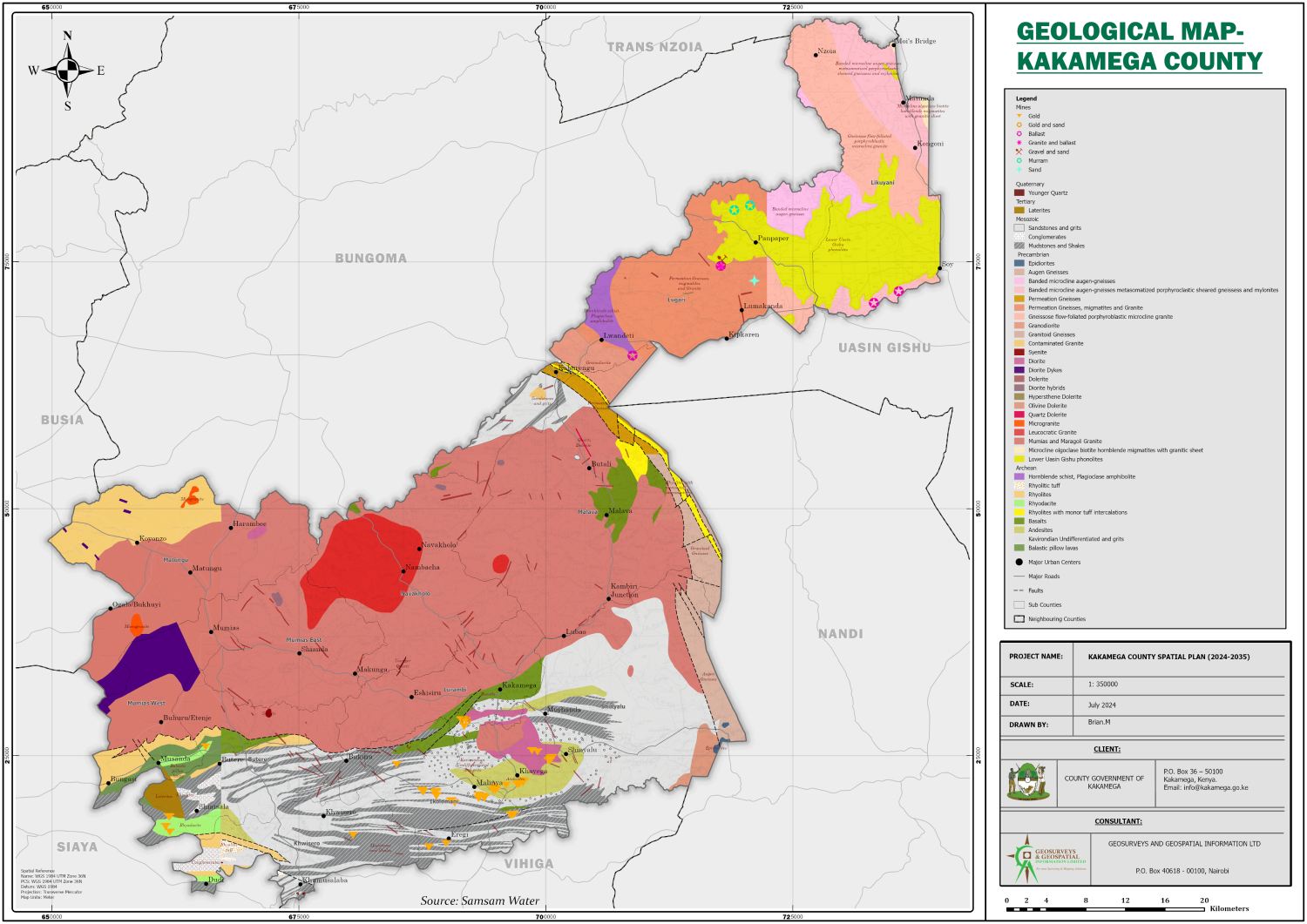
GIS-Based Mapping
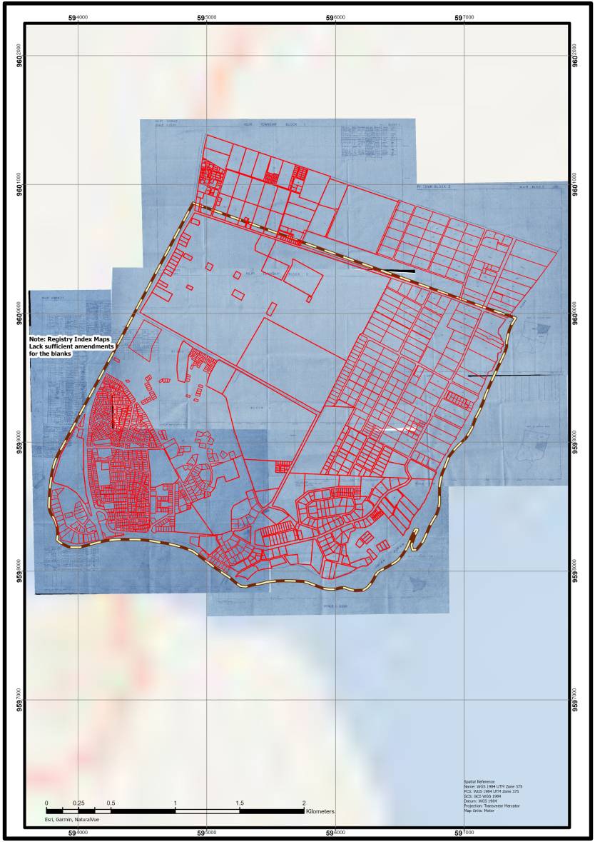
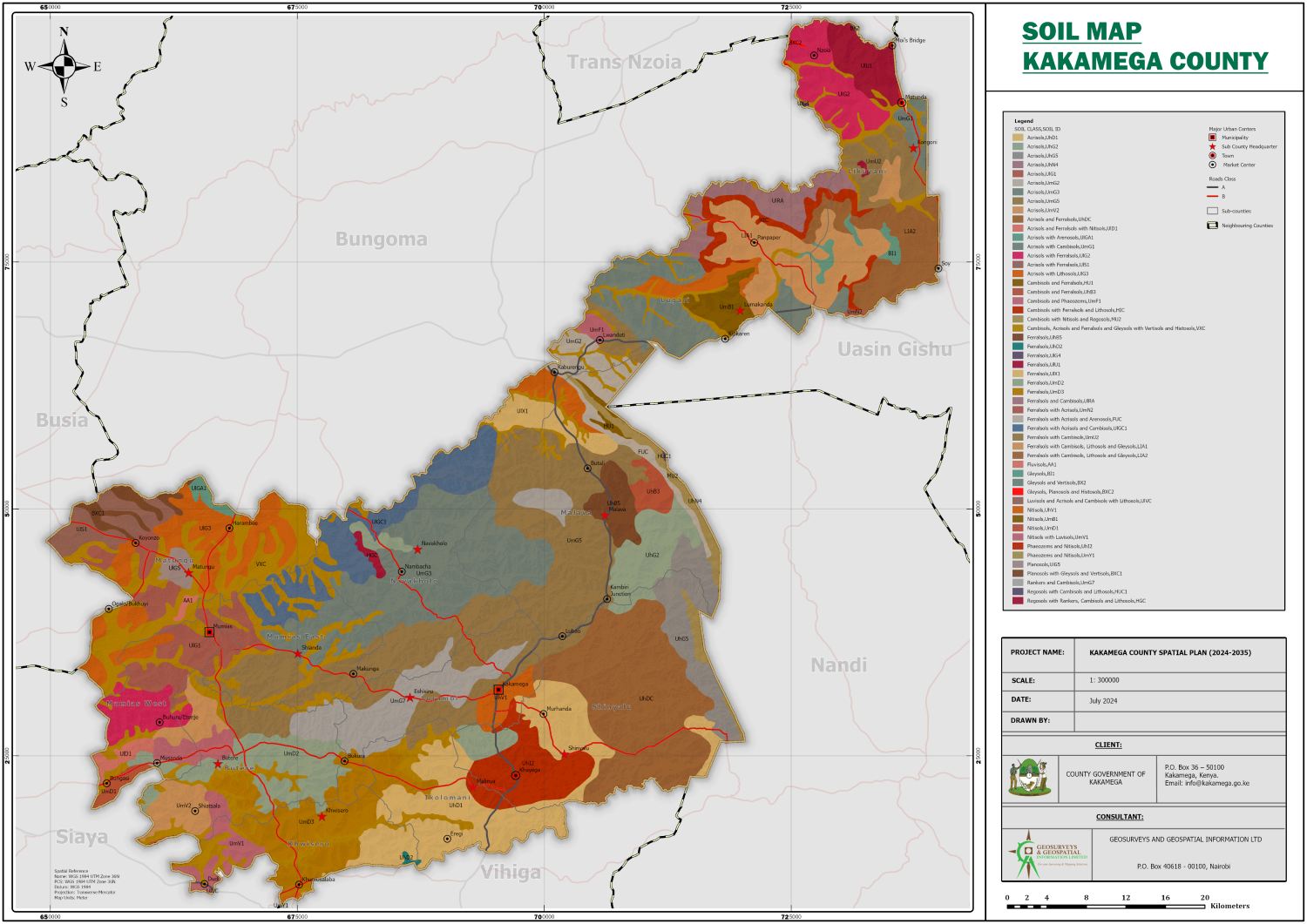
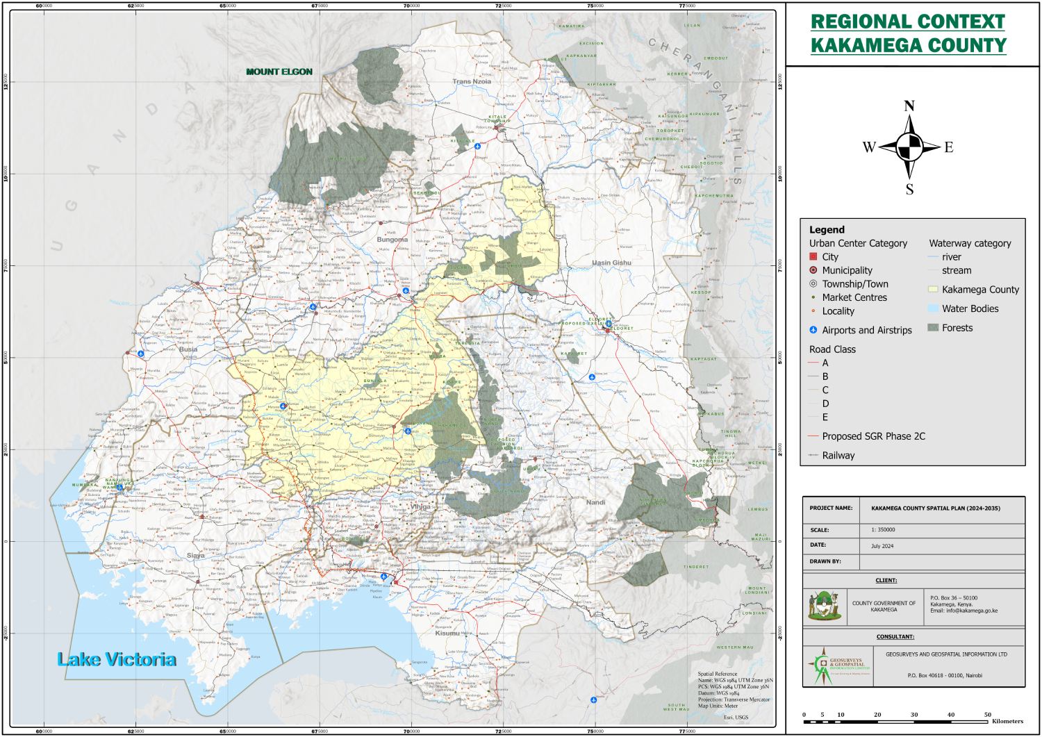
- Spatial Representation: Using GIS to visualize natural and man-made features (contours, rivers, wetlands, human settlements, infrastructure).
- Data Sources: Utilizing topographical maps, satellite imagery, and land use profiling.
Socio-economic Surveys
- Data Collection: Gathering information on the county’s population, demographics, economic activities, and social conditions.
Strategic and Integrated Approach
- Visioning and Objective Setting: Developing a shared vision for the county’s future and setting clear objectives.
- Integrated Development Planning: Considering the interconnectedness of different planning aspects (e.g., land use, infrastructure, economic development).
Stakeholder Analysis and Participation
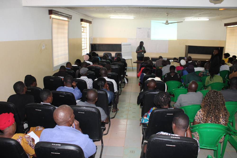
- Involving Stakeholders: Ensuring stakeholders are actively involved throughout the planning process.
- Building Consensus: Facilitating discussions and negotiations to reach agreement on key planning decisions.
- Validation of Findings: Seeking input from stakeholders to validate the base map, data collection findings, and planning recommendations.
Expected Output
- An Inception report
- Study and analysis reports
- Stakeholder analysis and engagement reports
- Maps, figures, photographs, tables, charts
- GIS based Shape files
- Technical meetings reports and proceedings
- Checklists
- Workshop, work session and Validation reports
Components of the Output
A Technical Report, containing the following:
- Analysis
- Plan proposals (policies, strategies and measures)
- Projects and programs
- Development strategies/models
County Structure Plan. A plan indicating desired land use pattern in maps and a report.
Capital Investment Plan. To outline the specific investments required to implement the goals and objectives of the spatial plan.
Action Plans. They outline the specific steps and activities that need to be taken to achieve the goals and objectives set forth in the plan. These plans provide a detailed roadmap for implementation and ensure that the vision for the county’s development is translated into tangible actions.
Conclusion
The Kakamega County Spatial Plan is a critical initiative aimed at shaping the future of the county, fostering sustainable growth, and enhancing the quality of life for all residents. By integrating expert knowledge, community input, and advanced technology, we are paving the way for a more prosperous and balanced future for Kakamega County.