
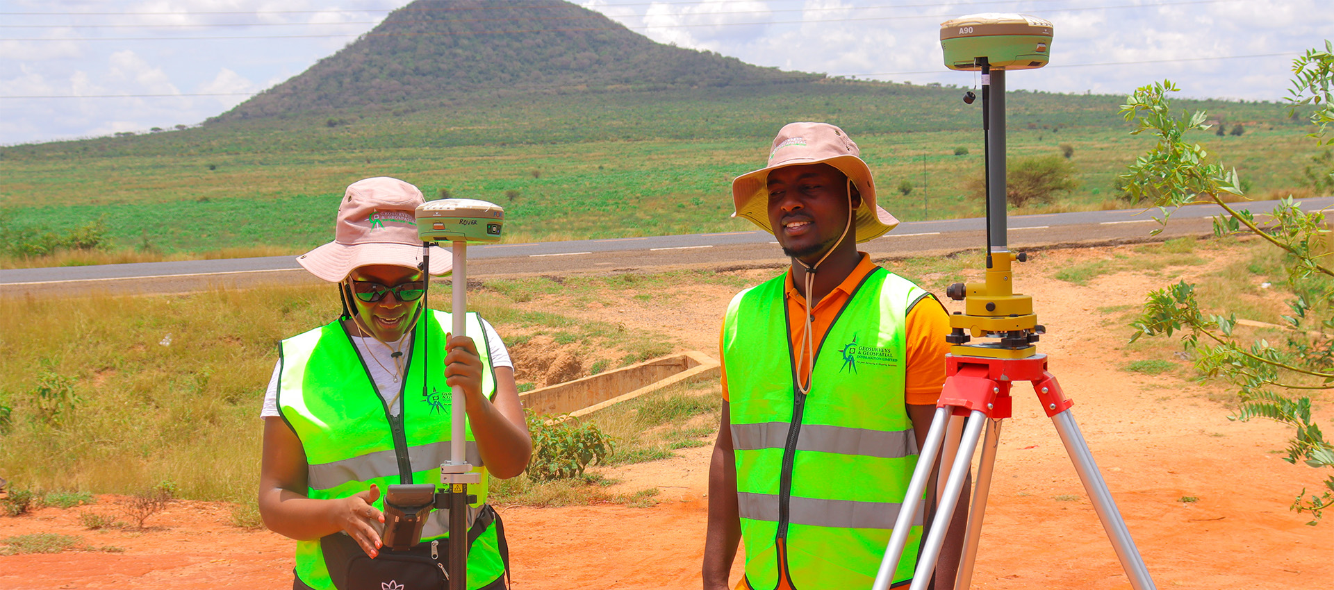
Cadastral Survey.
The service
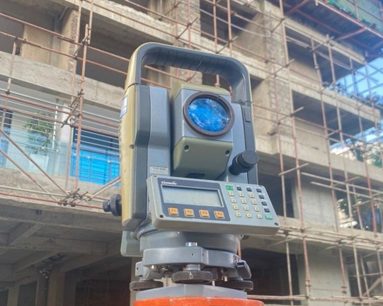
Our cadastral survey services combine professional staff, dynamic experience, state of the art equipment and software to offer full suite cadastral, surveys and sectional property surveys.
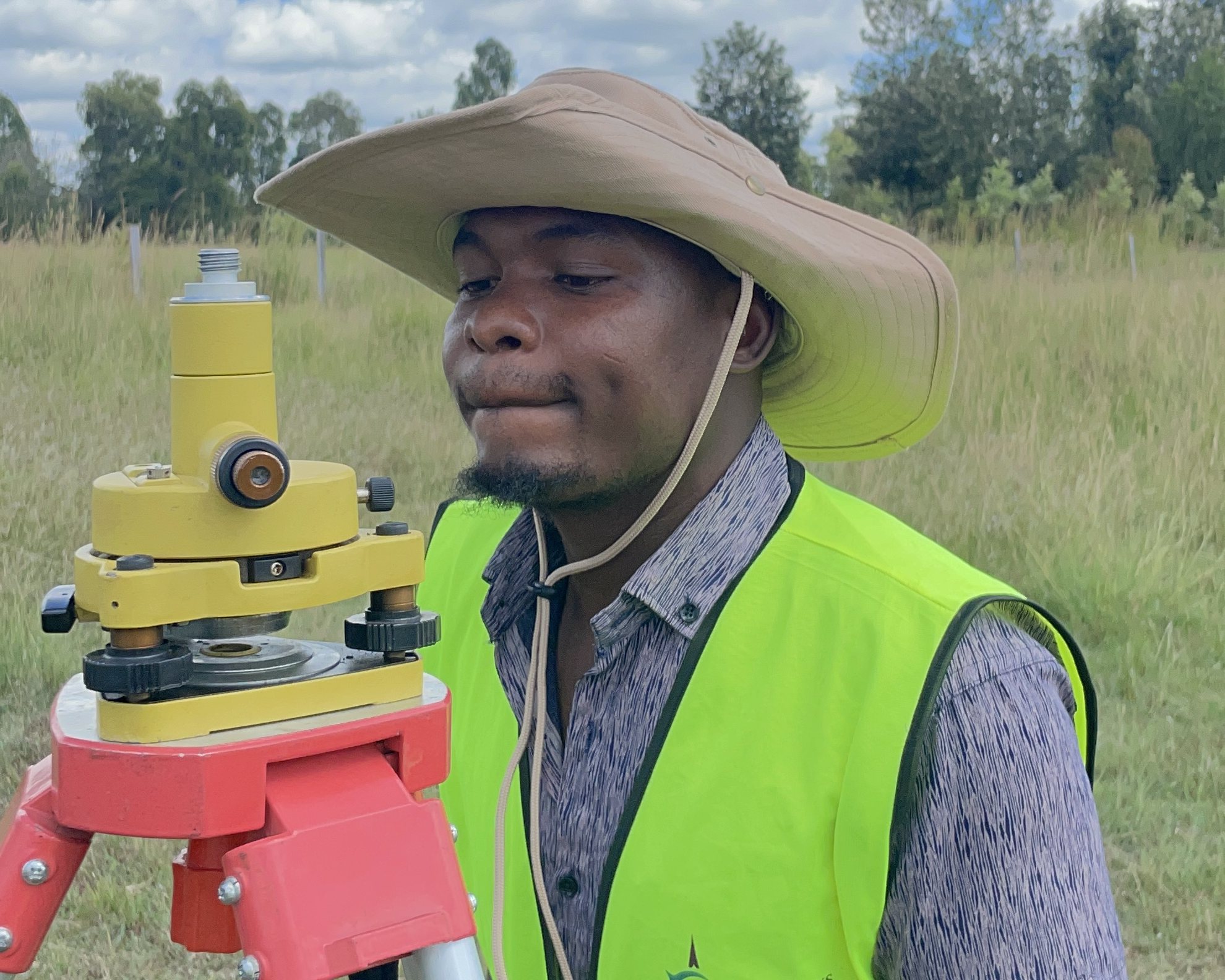
01 · Cadastral survey
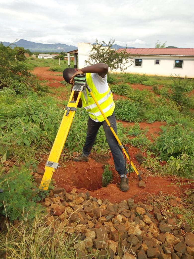
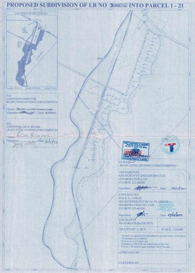
Cadastral surveying is the discipline of land surveying that relates to the laws of land ownership and the definition of property boundaries. In Kenya, Cadastral surveys are guided by the Survey Act, Land Act 2012, Land Registration Act. We carry out detailed cadastral survey in the form of:
- Land subdivisions.
- Boundary re-establishment of previously surveyed property. One of the primary roles of the land surveyor is to determine the precise boundary of the properties on the ground.
The core principles of surveying apply with key being working from whole to part. Our team of surveyors are well experienced in solving such puzzles thanks to extensive experience and high precision equipment along with established procedures for resolving discrepancies.
02 · Sectional property
Sectional properties surveys under the sectional properties act (SPA 2020) enable segmented/ sectional ownership of properties in high rise and mixed-use developments. The process involves preparation of survey data to define sectional deed plans by unit area. The sectional deed plans are registered, and sectional leases or sectional titles issued to owners.
Sectional surveys can be done in.
- Residential: Tower blocks, Flats, duplex apartments.
- Commercial: Shops, go-downs.
- Mixed-use scheme.
- Resort sectional property schemes: Hotels, Resorts.
- Town Houses and Villas.
Can be applied in zones that do not allow subdivision of land below a certain acreage but allows for increased densities.
FAQs
Frequently asked questions.
What services do you offer in cadastral surveying?
We provide land boundary surveys, land title registrations, and other cadastral services to ensure accurate land ownership documentation.
What tools do you use for cadastral and engineering surveys?
We use cutting-edge GIS and AI-based tools to ensure precise measurements for land boundaries, infrastructure planning, and construction projects.
Ready when you are
Tell us the parcel. We will tell you what it takes.
020 765 0202 · +254 794 338133 · info@geosurveysandgeospatialinfo.co.ke