
Engineering Survey.
The service
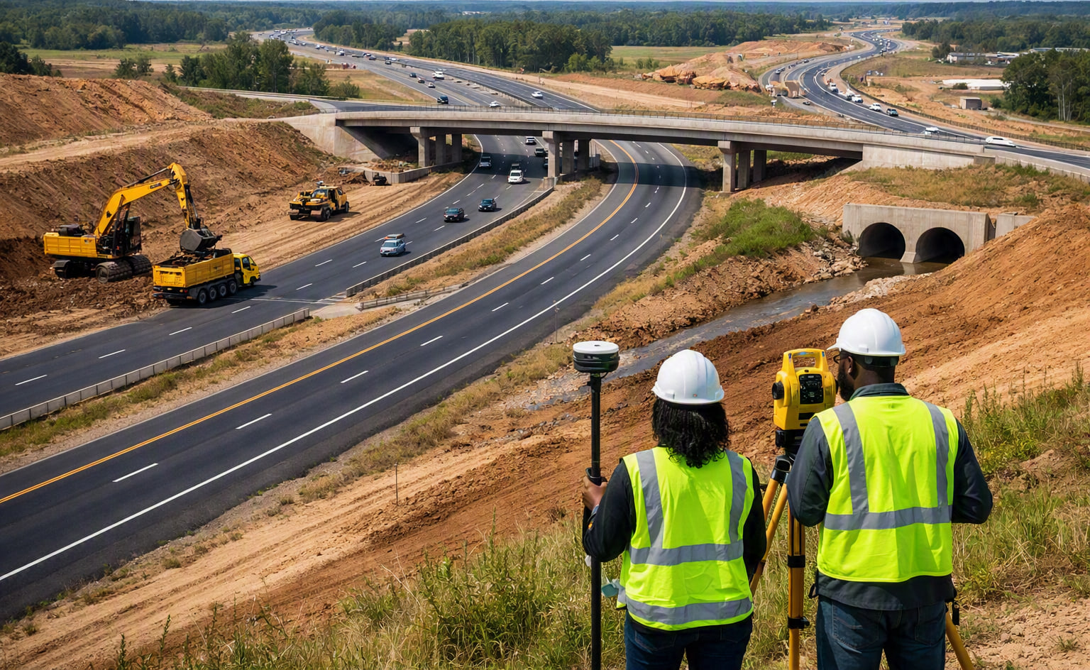
Engineering survey cuts across many professional sectors, with the main role of an engineering surveyor being to define position (X, Y). We are experienced experts in all areas relating to engineering survey activities required to support the sound conception, planning, construction, maintenance and operation of engineering projects.
01 · Scope
What we cover.
- Control survey
- Topographical survey
- Levelling
- Setting out survey
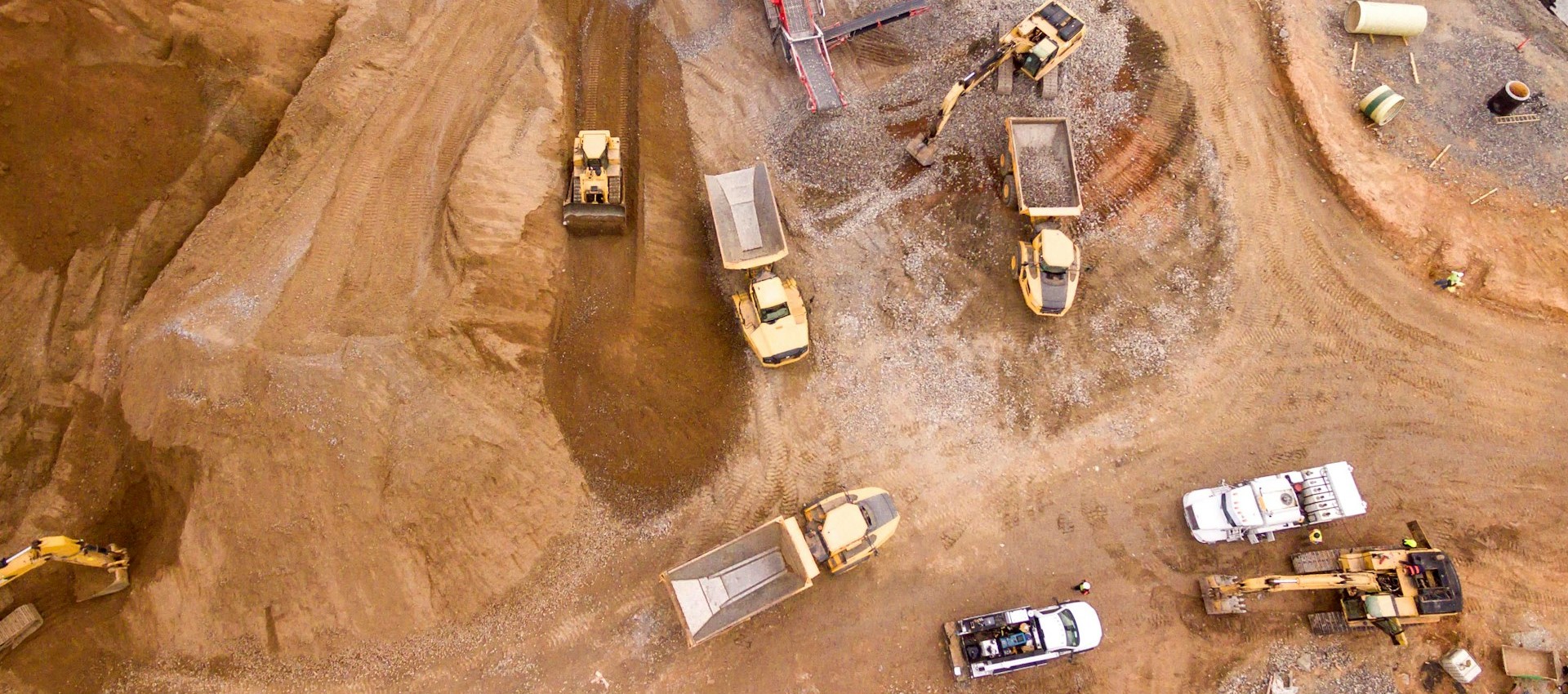
- Volumes and earthworks
02 · Control survey
The points everything else is measured from.
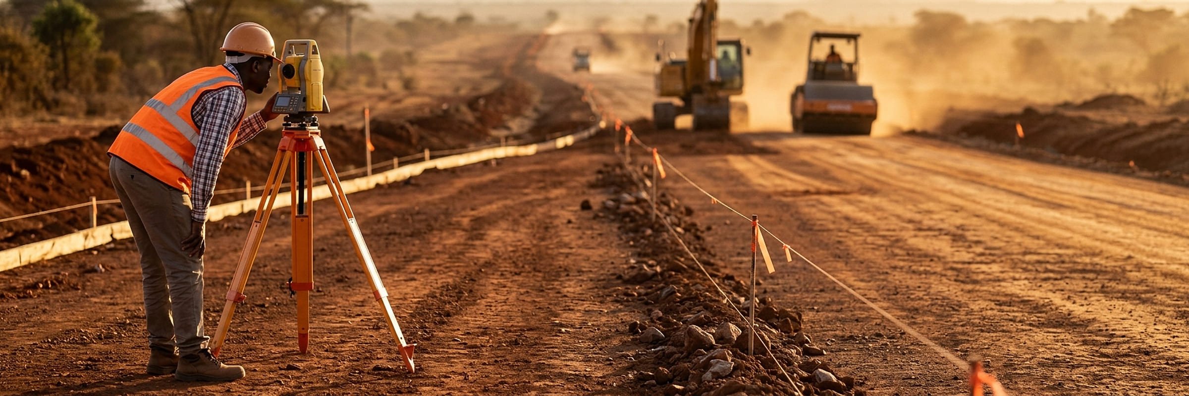
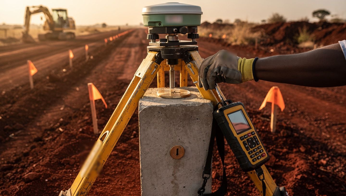
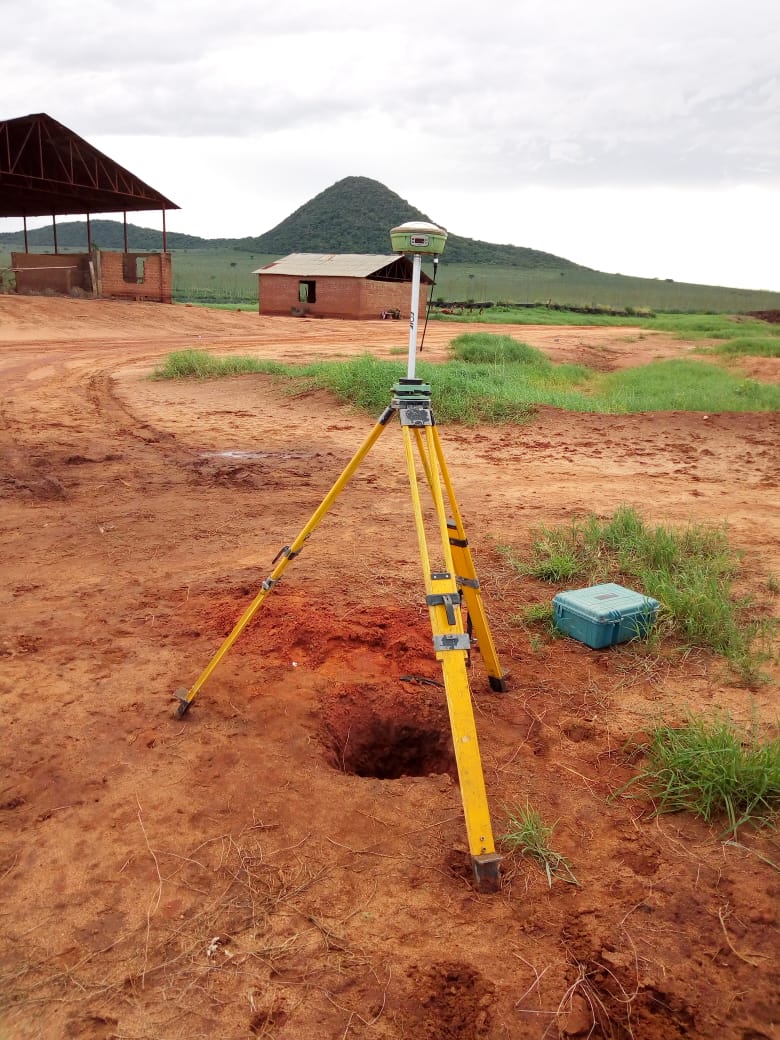
Typically, control surveys are used to establish durable, sustainable reference points to be used as the basis for and throughout a project's lifecycle and beyond. A critical aspect of this type of work is developing horizontal and vertical positions of these control points relative to a desired horizontal and/or vertical control datum.
Once the control points have been established, all subsequent survey work adhering to the control survey will be uniform and seamless for further use in engineering, planning and land development purposes. Control surveys are a foundational tool for virtually all other types of surveys, including, but certainly not limited to, topographic, cadastral, aerial mapping, construction layout, boundary surveys, utility mapping and structural as-built.
03 · Topographical survey
The ground as it actually is.
A topographical survey is an accurate depiction of the terrain of a property or area of land, defined by boundaries, which is scaled and detailed according to spatial considerations and is a summary of the on-site data capture processes.
The purpose is to gather spatial information relating to the site, natural and man-made land features alike. It is typically accepted that points are positioned in three dimensions, which facilitates ground modelling and visualisations to be produced from the topographical survey.
Additional information can often be integrated into topographical surveys, helping a design team account for the necessary and relevant site constraints. This can include site sections through particularly diverse gradient transects, spot heights of surrounding land and site features — neighbouring properties, to assess overlooking — and underground utilities information, from radar tracing and integrating utility records data. Over the years, we have produced some of the most reliable topographic surveys for our wide range of clients, saving time and monetary resources in relation to construction and planning purposes.
04 · Levelling
Measurement in the vertical plane.
This is a surveying method exclusively used to determine the elevation between two points on the earth's surface. Levelling deals with measurements in a vertical plane and is crucial for civil structures such as railway lines, highways and canals. We are seasoned experts in levelling and are conversant with the following categories.
- Profile levelling
- Barometric levelling
- Reciprocal levelling
- Longitudinal levelling
- Differential levelling
- Cross-section levelling
05 · Setting out survey
Putting the drawing on the ground.
This is a survey process applied to set out the exact position of a projected structure within the project site. The objective of setting out is to establish the precise position and levels of building lines and road alignments for a projected construction work, as per construction plans, by applying different techniques and instruments.
We have extensive experience conducting setting out surveys, utilising building coordinates, levels and total stations, examining formwork verticality, and performing control and computation for route surveying.
FAQs
Frequently asked questions.
How accurate are your engineering surveys?
Our engineering surveys are conducted using advanced tools to ensure high precision for construction, road, and infrastructure projects.
What tools do you use for cadastral and engineering surveys?
We use cutting-edge GIS and AI-based tools to ensure precise measurements for land boundaries, infrastructure planning, and construction projects.
Ready when you are
Tell us the site. We will tell you what it takes.
020 765 0202 · +254 794 338133 · info@geosurveysandgeospatialinfo.co.ke