Remote Sensing.
The service
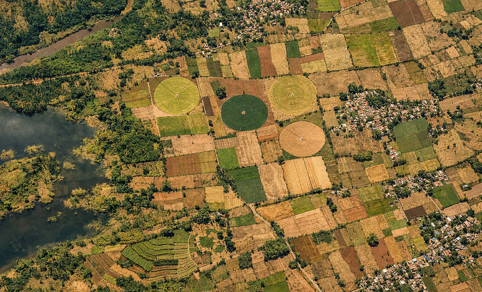
Our remote sensing expertise provides concrete spatial solutions ranging from qualitative analysis to quantitative derivation of invaluable information obtained using active and passive sensors. Remote sensing is the process of detecting and monitoring the physical characteristics of an area using satellite imagery. This process involves querying the visible and invisible data contained in rasters and obtaining information from aerial orthophotos and satellites to make spatial decisions.
01 · Expertise
Active and passive sensors.
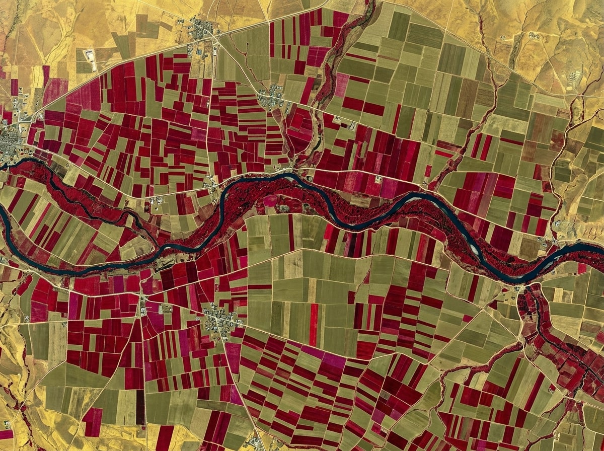
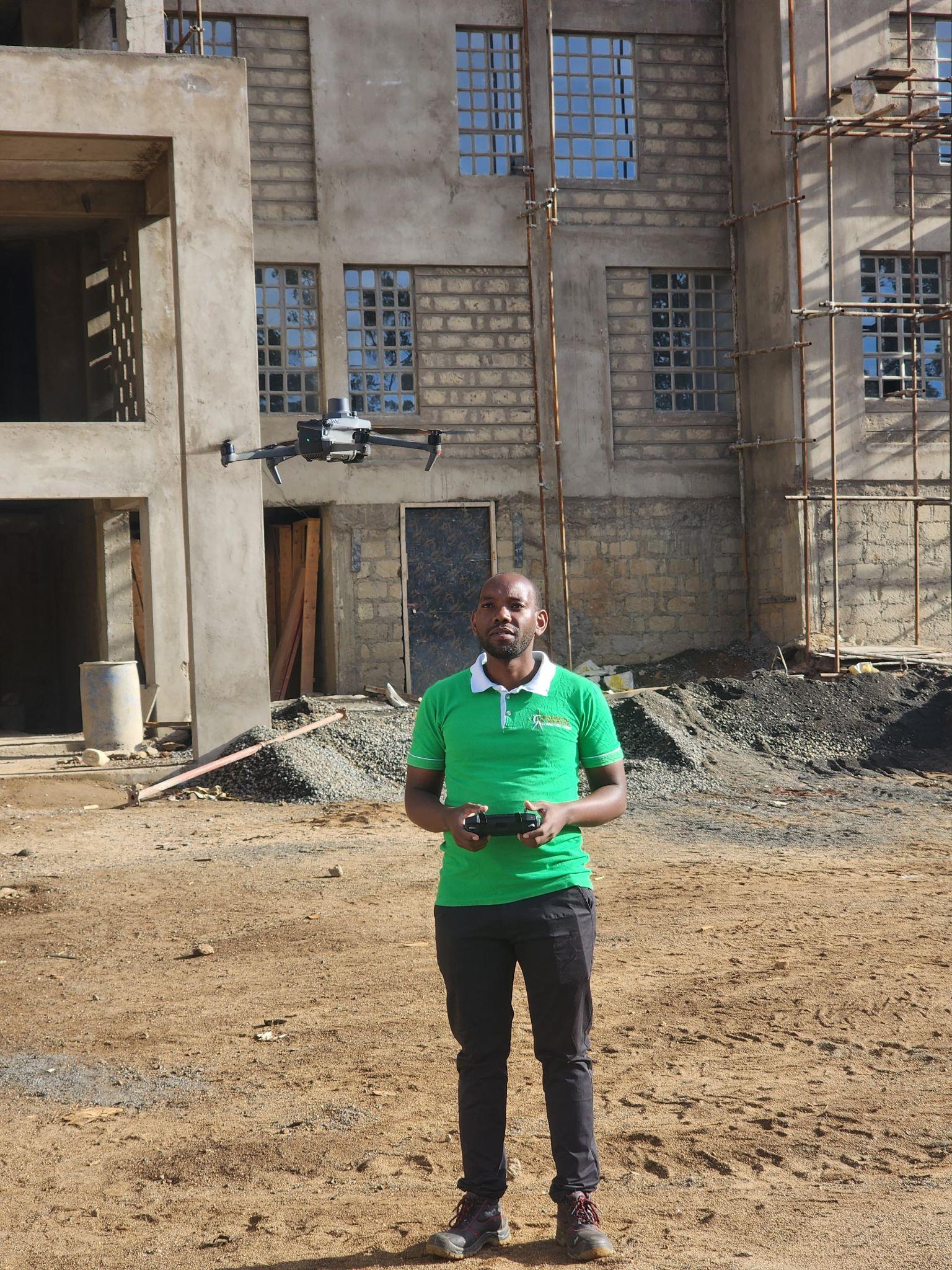
We have unrivaled expertise in using data collected from active and passive sensors and manipulating multispectral and hyperspectral images to derive spatial analysis. Our expertise also includes expansive knowledge in the configuration and operation of Unmanned Aerial Vehicles (UAVs).
02 · Deliverables
What we deliver.
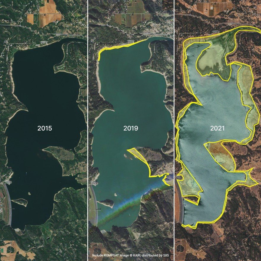
- Time Series and Change Detection Analysis.
- Feature Extraction and Mapping Outputs.
- Atmospheric Correction and Masking.
- Image Index Creation and Application.
- Creation of Remote Sensing Datasets.
The analysts
Decisions from what the sensor saw.
Our remote sensing analysts possess excellent skills in collecting, collating, and analyzing aerial imagery, enabling our clients to make data-informed decisions based on the current and future state of our planet. We have access to a wide set of data, imagery, and technologies that allow us to extract valuable information to suit any project requirements. Having successfully utilized remote sensing data in various areas, including agriculture, biodiversity, climate change, forestry, and urban planning, we have contributed to delivering new insights and key information for decision-making.
FAQs
Frequently asked questions.
How can remote sensing benefit large-scale projects?
Remote sensing provides aerial data collection for large areas, helping to monitor land use, vegetation, and resource management.
How does AI improve remote sensing and data analysis?
AI processes remote sensing data faster, identifying patterns and changes in land use or environmental conditions with higher accuracy.
Ready when you are
Tell us the area and the question.
020 765 0202 · +254 794 338133 · info@geosurveysandgeospatialinfo.co.ke