- Client
- Kilifi County
- Sector
- Physical and Land Use Planning
- Service
- Physical and Land Use Development Plans
- Location
- Kilifi, Kenya
- Listed under
- Urban & Regional Planning · GIS & Mapping
Project summary
Kilifi Municipality Integrated Strategic Urban Development Plan (ISUDP) outlined a comprehensive multi sectoral approach in managing urban growth and development within the municipality. The plan was prepared to serve the planning jurisdiction over a period of 10 years.
The brief
Geosurveys and Geospatial Information Limited was tasked to undertake a physical and land use development plan on behalf of the client.
The main objectives of the assignment were to:
- Define a vision for future growth and development of the area over the next 10 years.
- To conduct participatory planning exercises in the towns to identify citizens’ priorities.
- To prepare Integrated structure plans, showing current and proposed land use, infrastructure, and environmental assets.
- To set a base for the proposed new Development and role of the town.
- To set regulations, standards and guidelines for development control
- To prepare a monitoring and evaluation strategy to assist the planning department in reviewing and updating the plan in line with the ever-changing trends of the town.
The process: our work
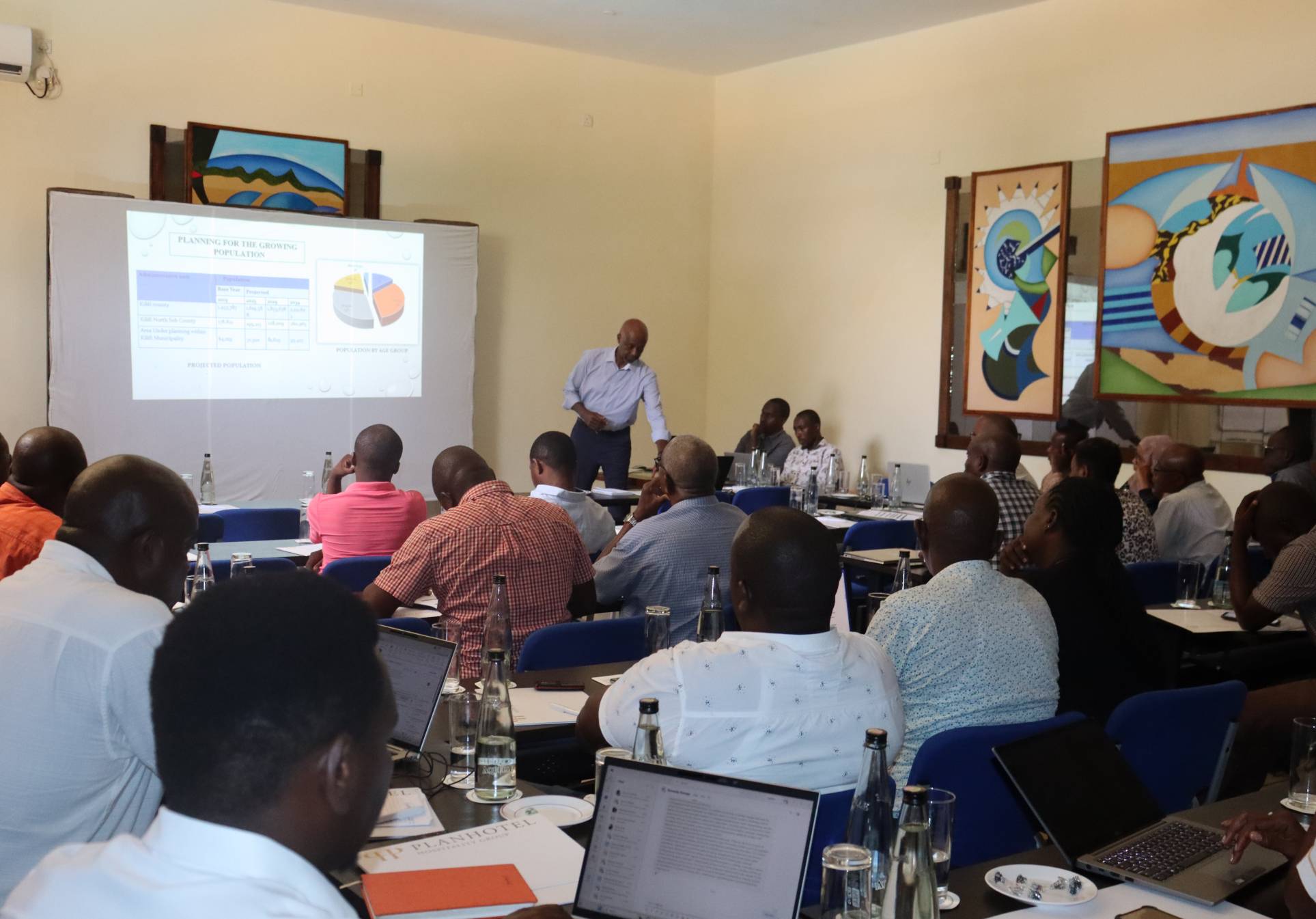
Stakeholder’s Engagements
Stakeholder engagement sessions bring together technical professionals, political leaders, business owners and residents in a collaborative effort to facilitate an inclusive dialogue paving way for a sustainable and prosperous urban future.

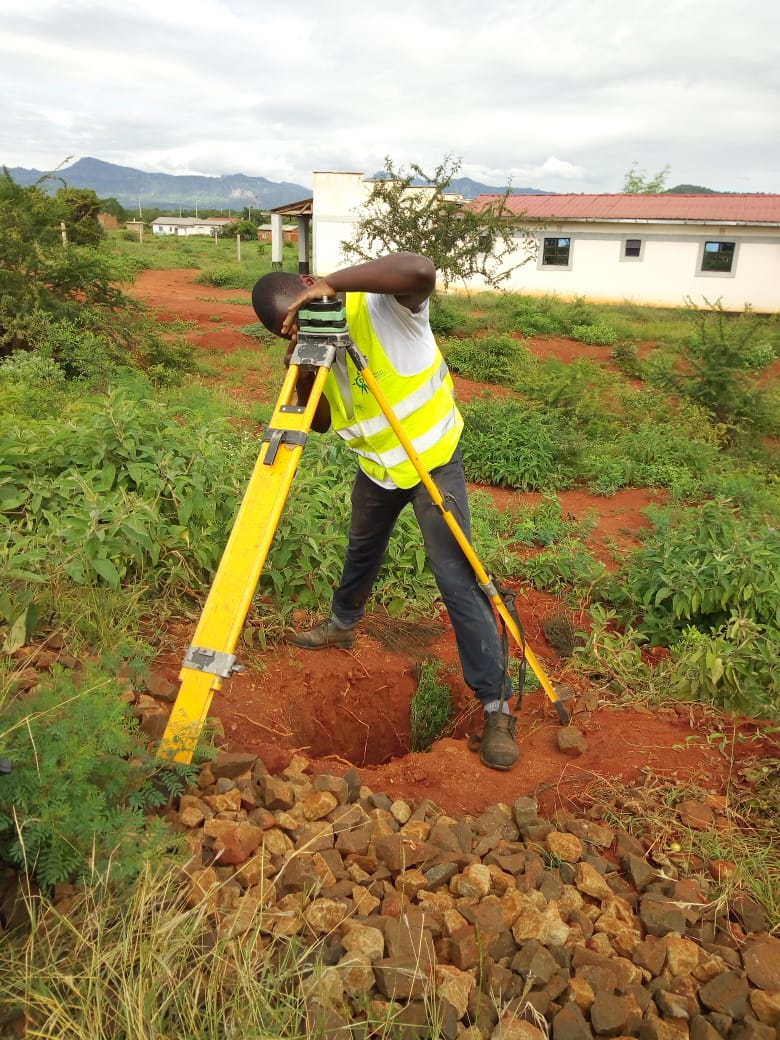
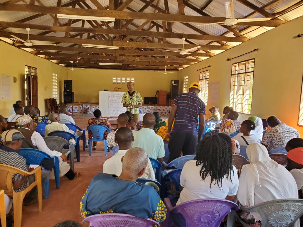
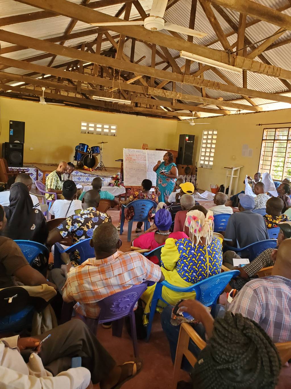
The people – Data Collection
People are not just witnesses to change but architects of their own urban destiny. Involving them in development projects reflects their collective aspirations and voice.
The deliverables
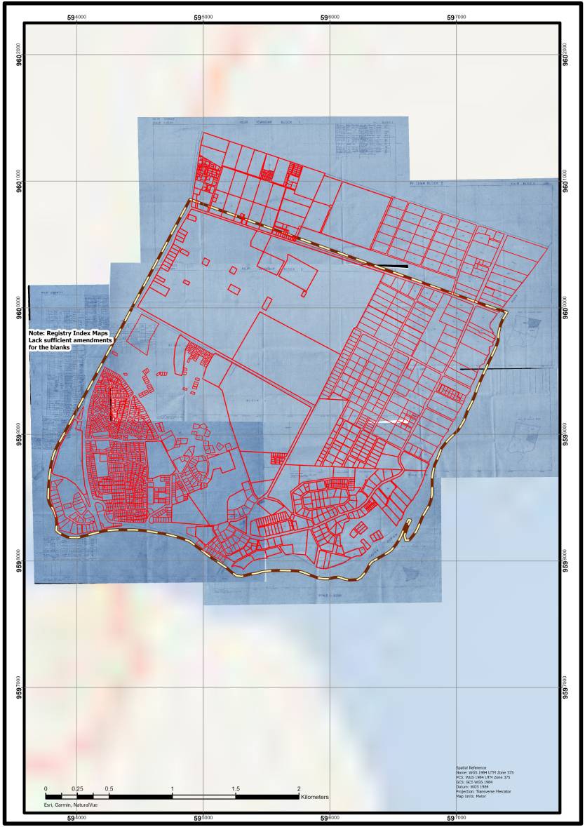
Cadastre Layer Generation
- Acquiring required survey plans and data.
- Co-ordinate conversion for standardization of data to industry practice.
- Importing and georeferencing of survey plans (Registry Index Maps, Folio Registry maps and Preliminary Index Maps.) in a GIS software.
- Digitizing the land parcels and assigning relevant attributes.
- Topology verification and layers styling.
- Sharing (Geo-database), Storing, updating and maintaining the cadastre layer.
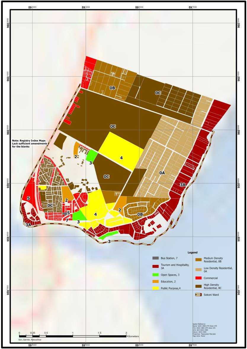
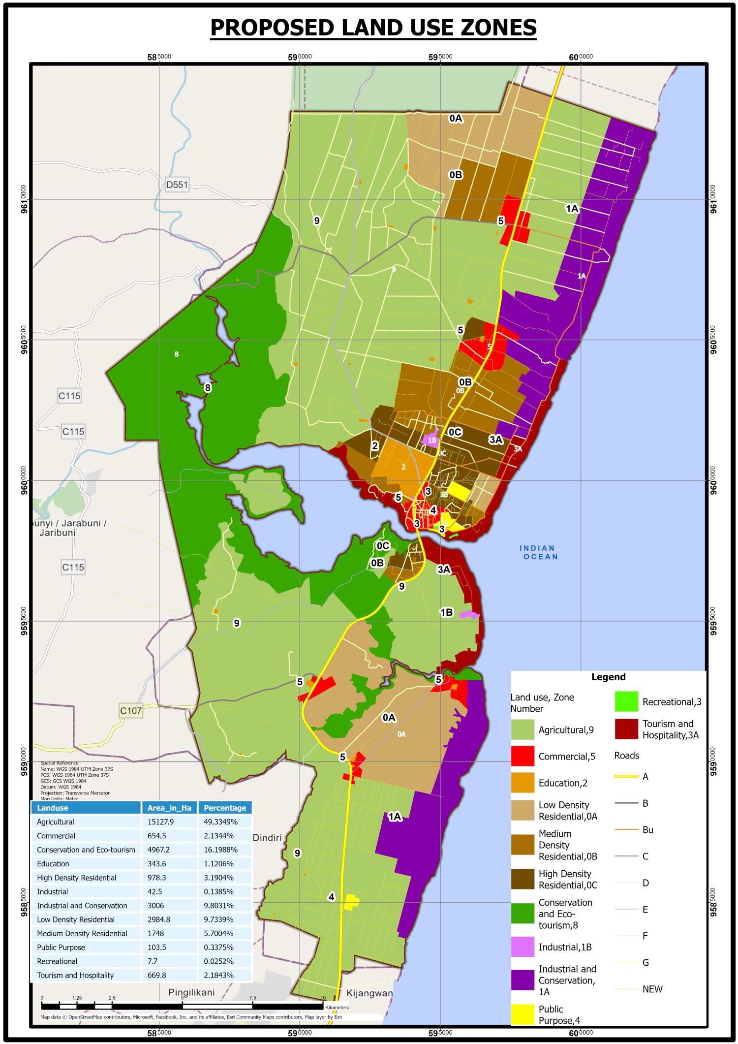
Detailed Land Use and zoning plans: What we do
- Detailed plans involve a series of steps that incorporates legal, spatial and planning aspects.
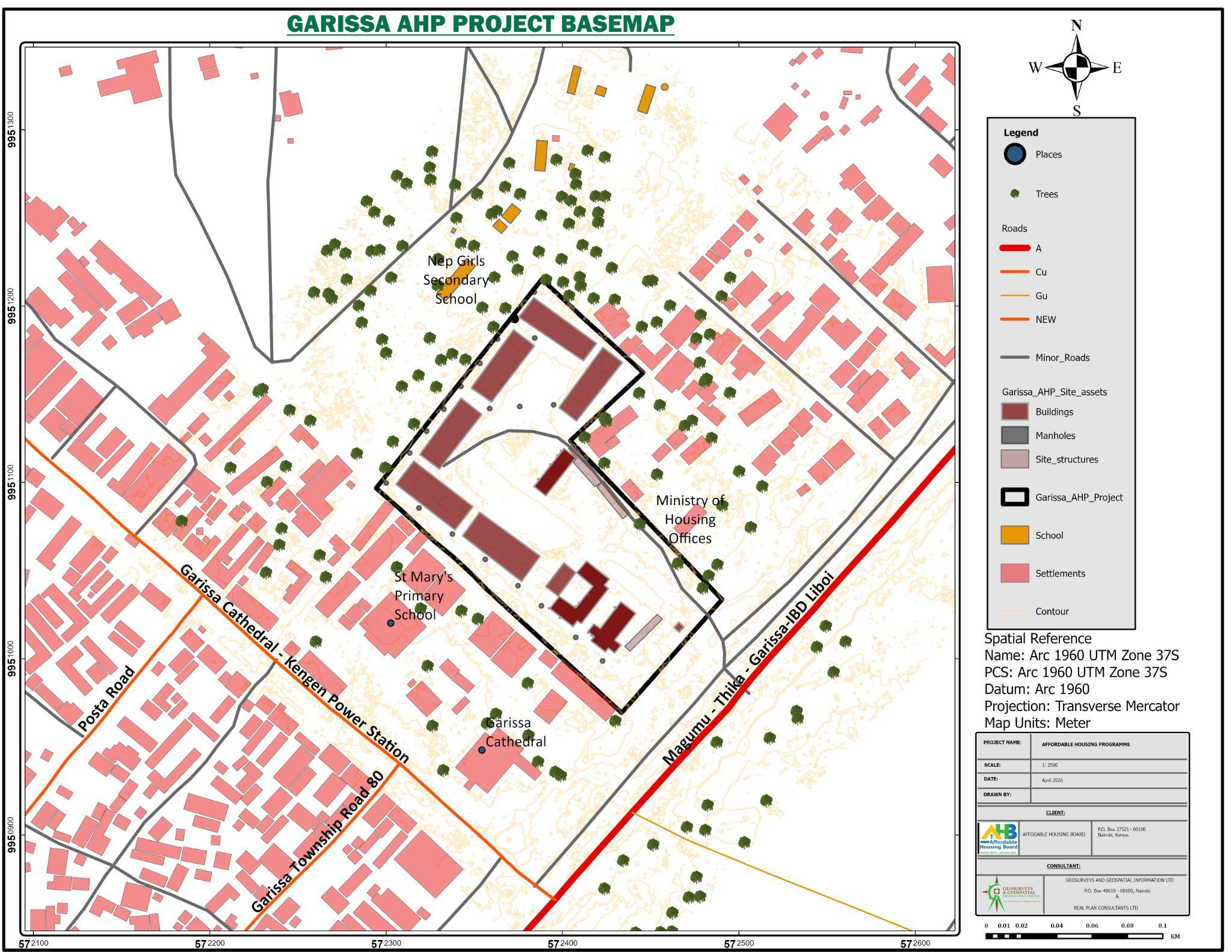
- Initial preparations involve data acquisition and stakeholder engagement. A Basemap is generated to integrate the cadastral layer and perform spatial analysis.
- Defining and allocating planning zones to parcels follows and a draft plan is generated to visually represent the proposed land use zones
- The plan must comply to regulatory standards, integrate with broader National and Regional plans and undergo community validation before finalization, approval and implementation.
- A capital Investment Plan should accompany the plans to identify funding sources for infrastructure development and other necessary investments/projects. This could include government funding, private investments or public-private partnerships.
- Continuous monitoring, evaluation and review of these plans is essential for addressing emerging community needs
- Documentation and digital back up of reports, graphics, maps and meeting minutes is vital for transparency, future reference, and legal compliance.
Thematic Mapping
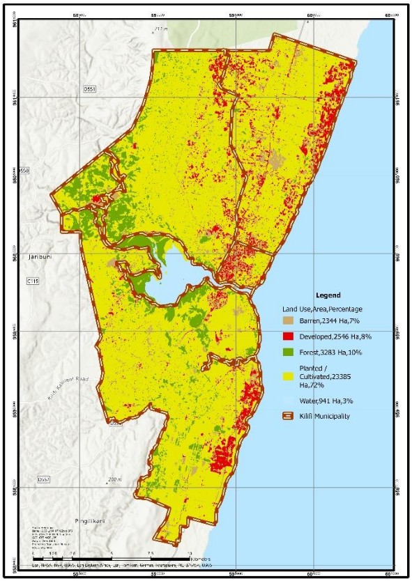
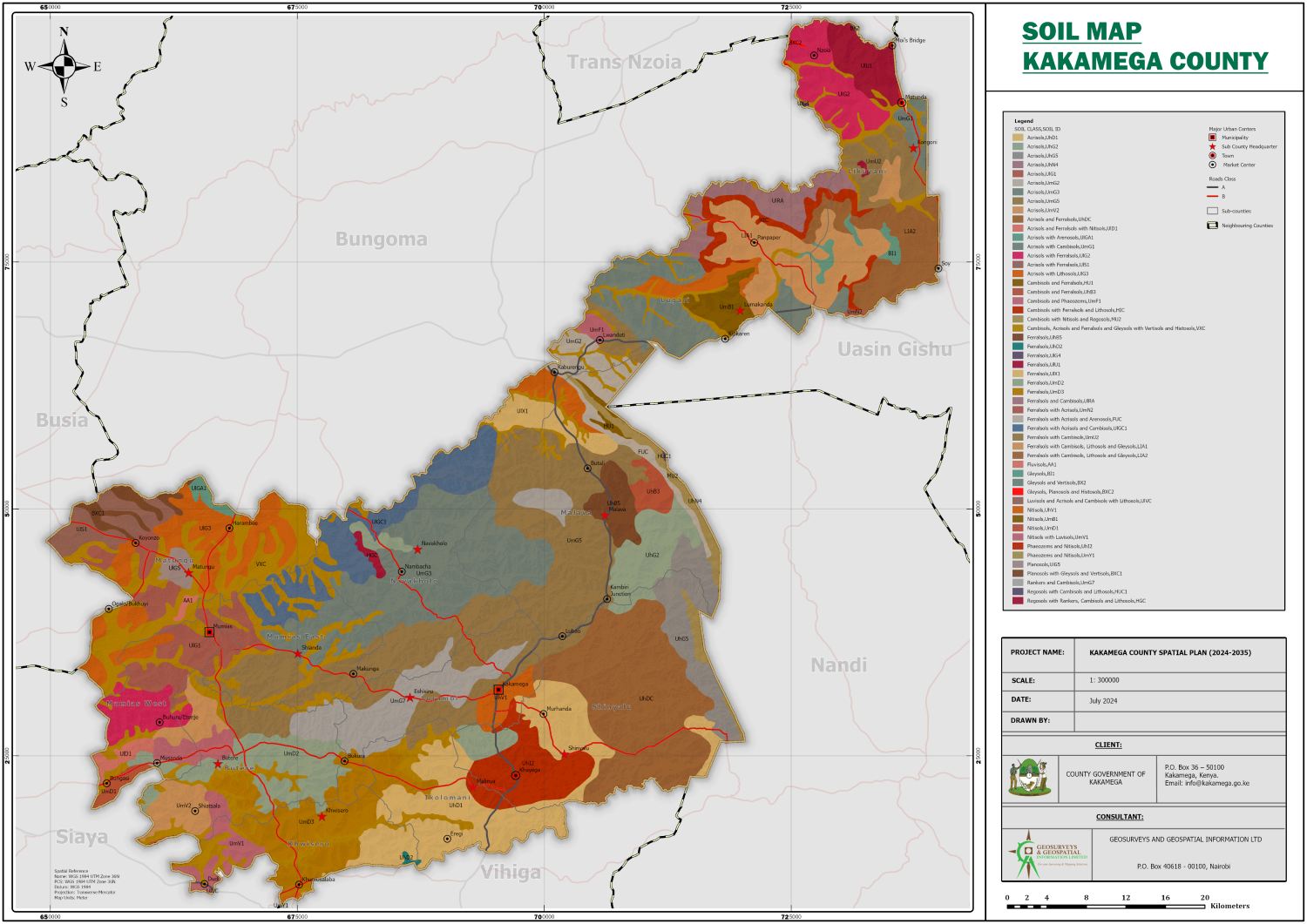
Thematic mapping focuses on specific themes or subjects rather than showing general geographic information like topography. Thematic maps visually represent data related to topics, such as population density, climate, Socio economic activities, or land use. They are powerful tools for analysis, communication, and decision-making in various fields, including geography, urban planning, environmental studies, education, public health, infrastructure and security.