- Client
- Affordable Housing Board (AHB)
- Sector
- Affordable Housing / Land Administration
- Service
- Physical Planning, Cadastral Surveying, GIS, Remote Sensing & Titling
- Location
- Kenya
- Listed under
- Cadastral Survey · Urban & Regional Planning · GIS & Mapping · Remote Sensing
Project summary
Geosurveys and Geospatial Information Limited, in Joint Venture with Real Plan Consultants Limited, was engaged by the Affordable Housing Board to provide comprehensive consultancy services for the planning, surveying, mapping, and end-to-end titling of Affordable Housing projects across Kenya.
The assignment covered over 9,000 housing units and incorporates a multidisciplinary approach involving physical planning, cadastral surveying, valuation, GIS and remote sensing, land administration, sectional property surveying, and title processing.
The project was designed to facilitate the transformation of Affordable Housing developments into legally recognized and individually titled housing units, providing the necessary spatial, planning, survey, and land registration framework to support ownership and allocation of the units.
The brief
Geosurveys and Geospatial Information Limited, in Joint Venture with Real Plan Consultants Limited, was tasked by the Affordable Housing Board to provide professional consultancy services for the end-to-end titling of Affordable Housing projects.
The main objectives of the assignment were to:
- Undertake due diligence and stakeholder engagement for the identified Affordable Housing project sites.
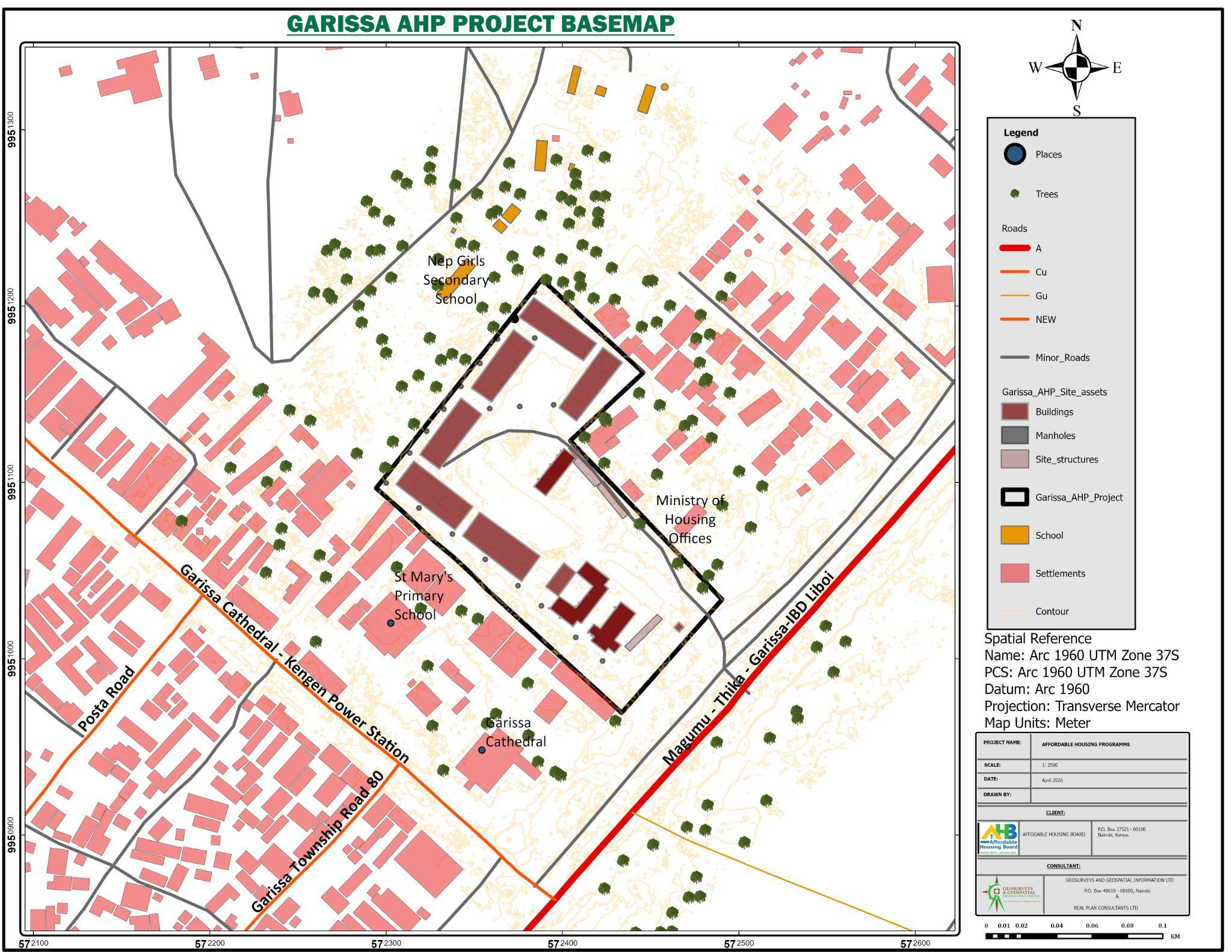
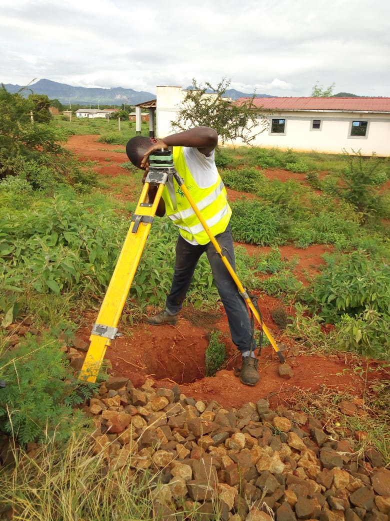
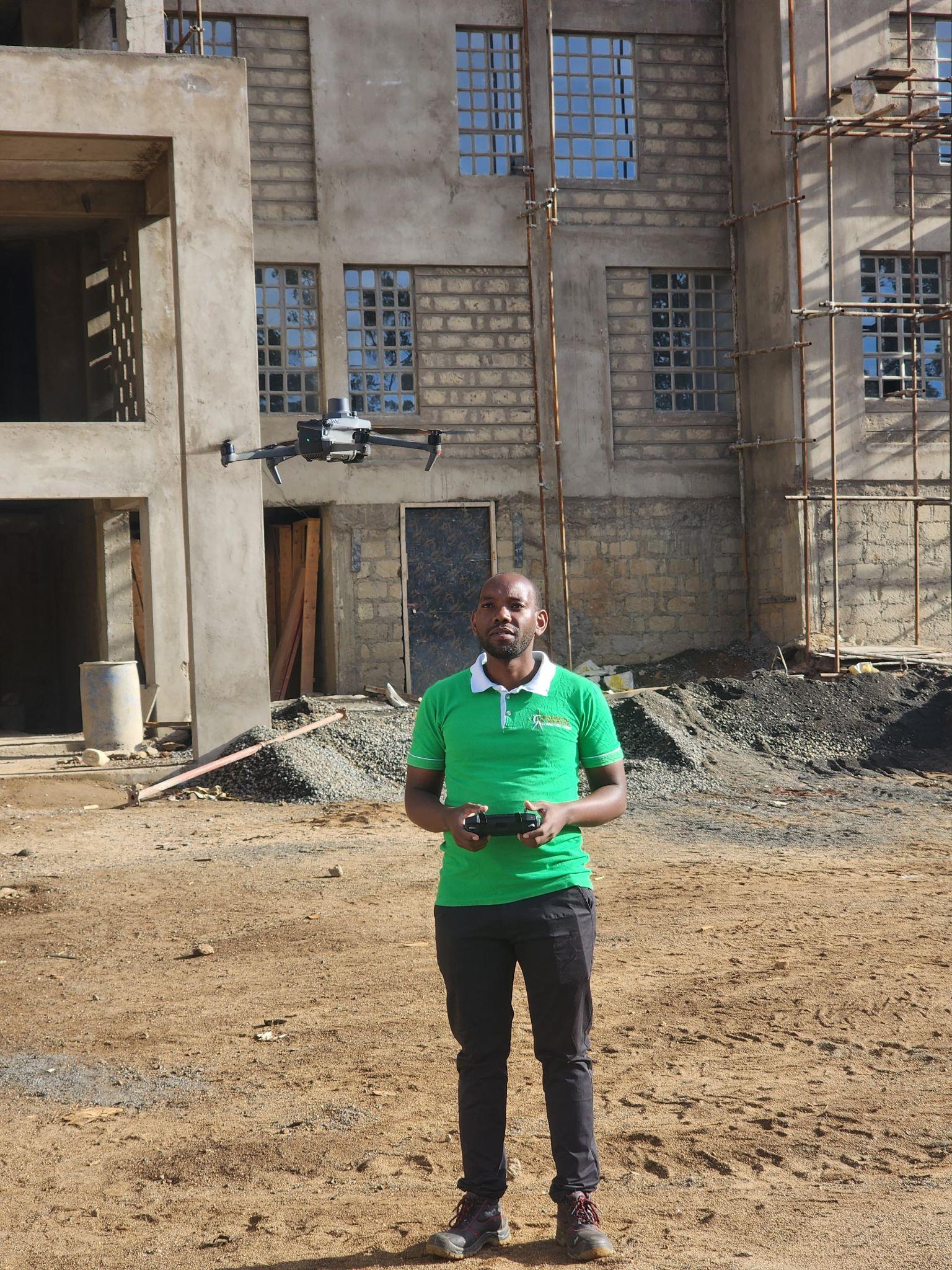
- Carry out drone and topographical surveys and prepare accurate base maps for the project areas.
- Undertake physical planning and prepare Physical Development Plans (PDPs) and/or Local Physical and Land Use Development Plans (LPLUDPs).
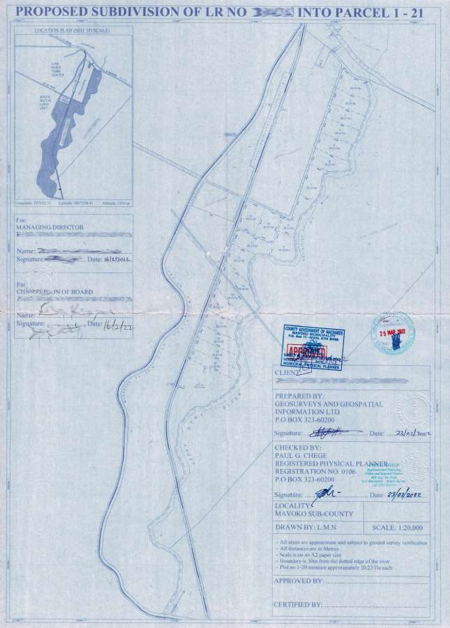
- Carry out grant surveys, including preparation, approval and authentication of survey plans.
- Facilitate Change of Use where necessary and undertake property valuation.
- Prepare and process leases for the respective head titles.
- Undertake sectional property surveys and submit survey plans for approval and authentication.
- Prepare and facilitate the production and registration of individual sectional property titles.
- Provide comprehensive project documentation and completion reporting.
The process: our work
Due Diligence, Stakeholder Engagement and Base Mapping
The assignment commenced with due diligence and stakeholder engagement to establish the legal, physical and planning status of the respective project properties.
Drone and topographical surveys were undertaken to capture accurate spatial information and develop reliable base maps for subsequent planning and cadastral survey activities.
The resulting survey data and base maps provided the spatial foundation for the preparation of physical planning proposals, cadastral surveys and subsequent titling processes.
Physical Planning and Grant Survey
Following completion of the preliminary investigations and mapping, Physical Development Plans (PDPs) were prepared to guide the development and land-use organization of the project sites. Grant survey activities were subsequently undertaken, including preparation, submission, approval and authentication of the relevant survey plans.
These processes established the cadastral framework required for the development and subsequent registration of the housing units.
Change of Use, Valuation and Head Title Lease Processing
Where applicable, Change of Use processes were undertaken to facilitate the appropriate planning and legal use of the respective properties.
Property valuation was also undertaken as part of the land administration and titling process. The necessary documentation for preparation and processing of leases for the head titles was subsequently facilitated.
Sectional Property Survey
With the planning and cadastral framework established, sectional property surveys were undertaken for the housing developments.
The sectional surveys involved capturing and defining the individual housing units and their relationship with the common property within each development.
Sectional survey plans were prepared and submitted for approval and authentication, forming the basis for the creation of individual sectional property titles.
Preparation and Production of Sectional Titles
The final stage involved preparation and production of sectional property titles for the individual housing units.
The titling process brings together the outputs from the planning, cadastral surveying, valuation, GIS, remote sensing and land administration stages to facilitate the creation of legally recognized individual titles for the beneficiaries of the Affordable Housing developments.
The deliverables
Approved Physical Planning and Survey Plans
Approved physical planning and cadastral survey documentation provides the spatial and regulatory framework for the orderly development and subdivision of the Affordable Housing project sites.
Sectional Property Survey Plans
The sectional property survey plans define the individual housing units within each development and establish their spatial relationship with the common property.
Individual Sectional Property Titles
The principal outcome of the assignment is the preparation and production of individual sectional property titles for the housing units, providing the legal framework for individual ownership and registration.
Comprehensive Project Completion Report
A comprehensive completion report documents the entire project undertaking, including the planning, surveying, titling and other professional services undertaken throughout the assignment.