
If you’ve been active on LinkedIn, attended a tech conference, or had a conversation with anyone in the geospatial community lately, you’ve likely come across the term GEOAI.
It’s everywhere – sometimes subtly mentioned, other times thrown around like it’s been part of GIS vocabulary for decades. But what exactly is GEOAI?
And why has it captured the attention of everyone from climate scientists and urban planners to farmers and policymakers?
Decoding the jargon
Let’s break it down:
- “Geo” refers to geography – the study of places, spaces, and spatial relationships.
- “AI” stands for artificial intelligence – the technology that enables machines to learn from data, identify patterns, and make predictions.
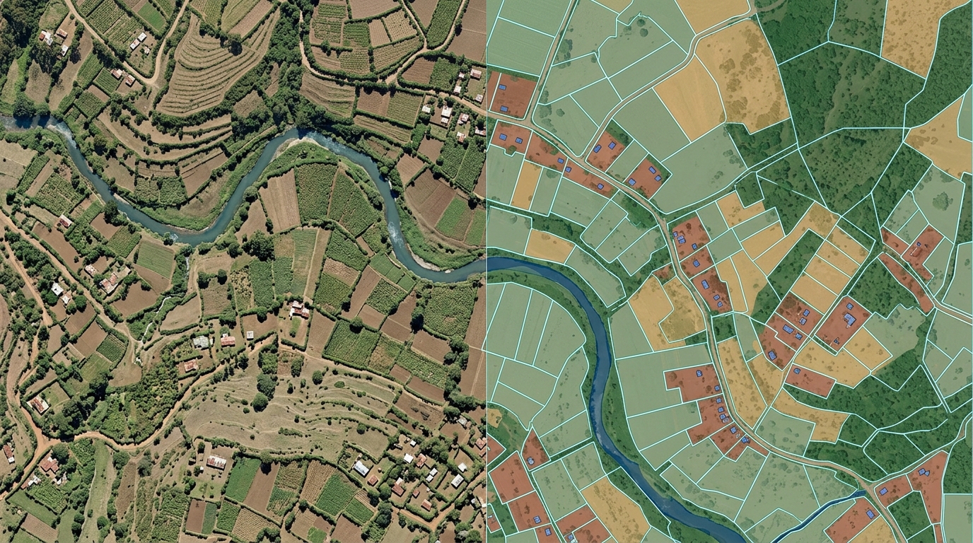
Together, GEOAI is the integration of AI with geospatial data. It enables advanced analysis of location-based data using machine learning, deep learning, and other AI techniques.
But it’s more than just a fusion of terms – it’s a powerful tool that’s transforming how we understand and interact with our world.
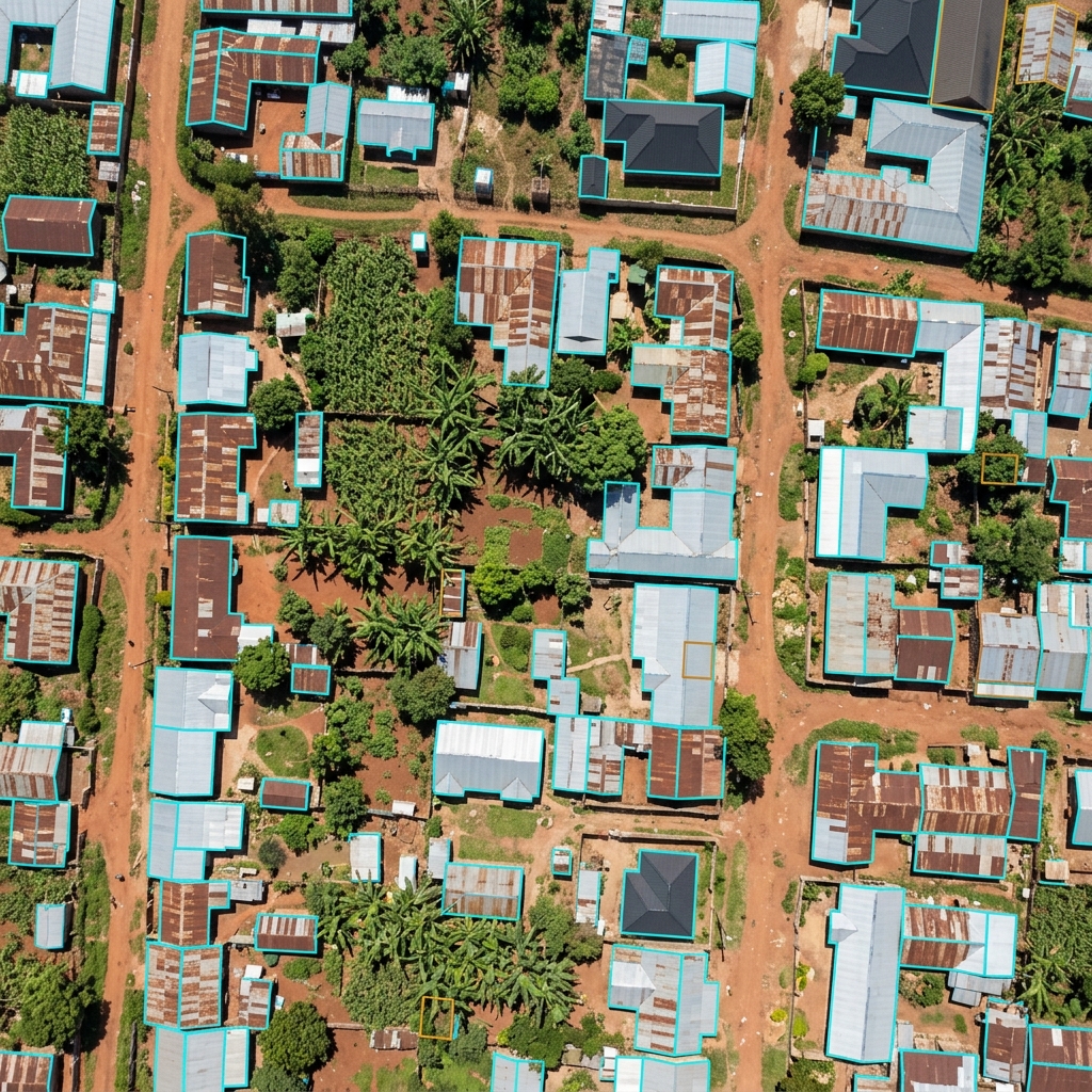
From concept to reality
In today’s fast-paced, data-driven world, staying ahead means embracing innovation. GeoAI sits at the intersection of geography, data science, and machine learning, unlocking new insights from the massive volume of location data we generate – from satellite imagery and climate records to land use patterns and urban metrics.
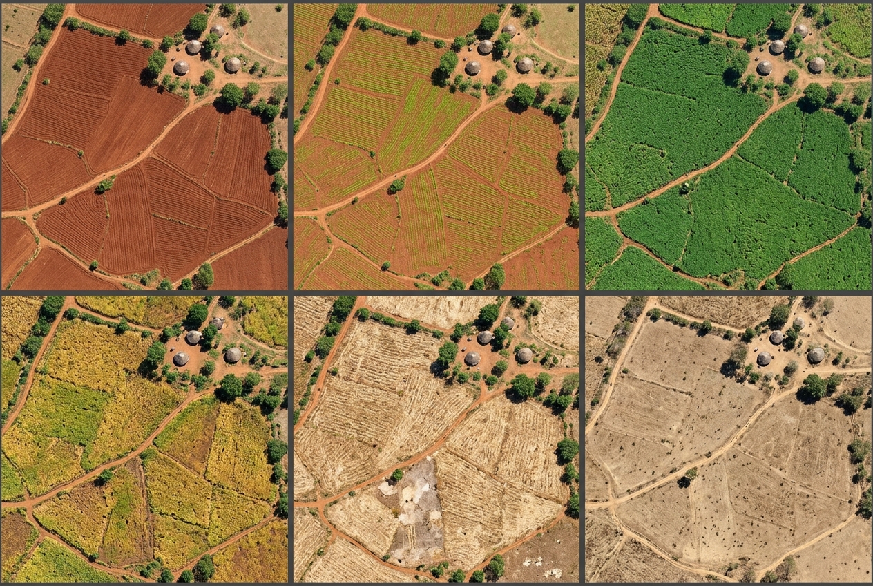
Real-world applications of GeoAI include:
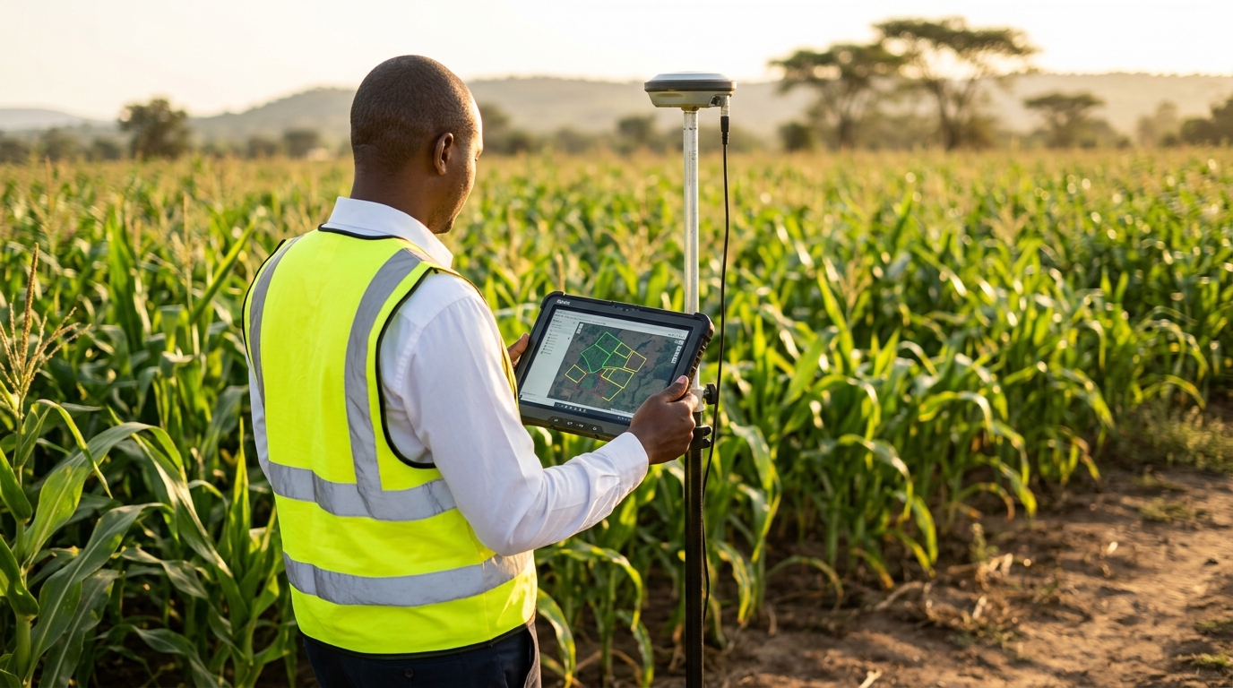
- Precision Agriculture: Monitoring crop phenology and predicting seasonal crop yields using spatial and temporal data.
- Weather Forecasting: Processing large-scale satellite data to identify weather trends and model future climate conditions.
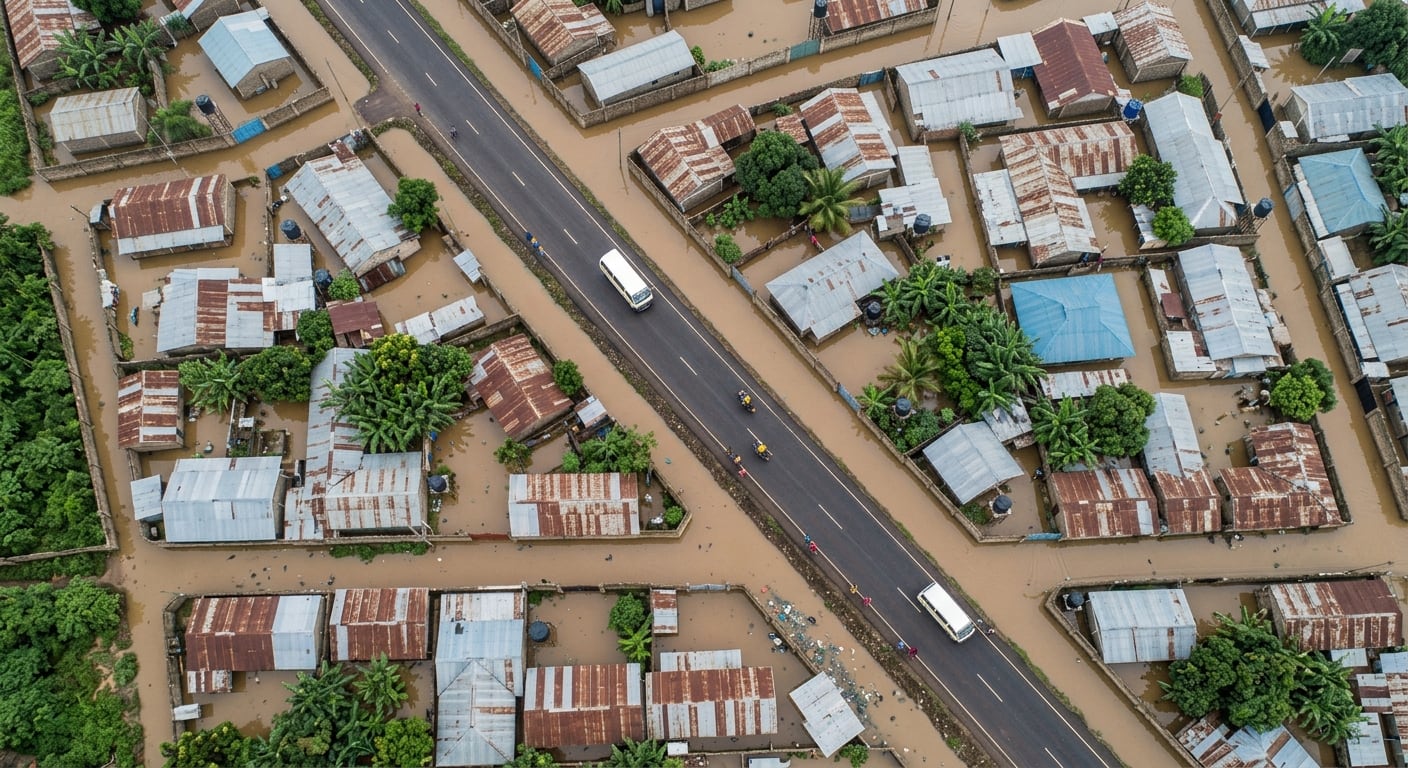
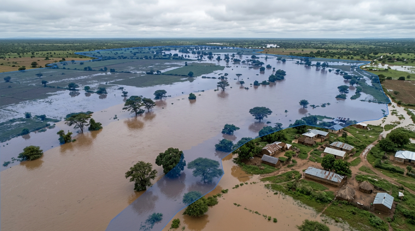
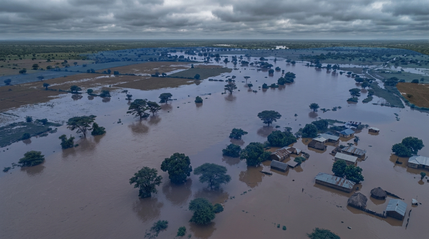
- Disaster Planning: Supporting governments in flood risk assessment and watershed management.
- Urban Planning: Monitoring traffic congestion and predicting urban sprawl using demographic and infrastructural data.
A path forward
GeoAI is redefining how spatial tasks are approached – enabling automation of complex geospatial analyses, managing vast datasets efficiently, and uncovering patterns that would otherwise go unnoticed.
Its impact is already visible across key sectors such as climate resilience, city planning, agriculture, and emergency response.
However, the power of GeoAI is only as strong as the data it’s built on. High-quality inputs, data validation, and model accuracy remain critical.
As the saying goes: Garbage In, Garbage Out – and that holds especially true for AI-driven systems.
Why it matters
In an era of global challenges and rapid change, GeoAI is more than a trendy term – it’s a transformative technology. For professionals working with land, climate, agriculture, or urban systems, now is the time to explore its potential.
Behind the buzz, a quiet revolution is underway – reshaping how we map, manage, and make decisions about our world, one intelligent model at a time.