
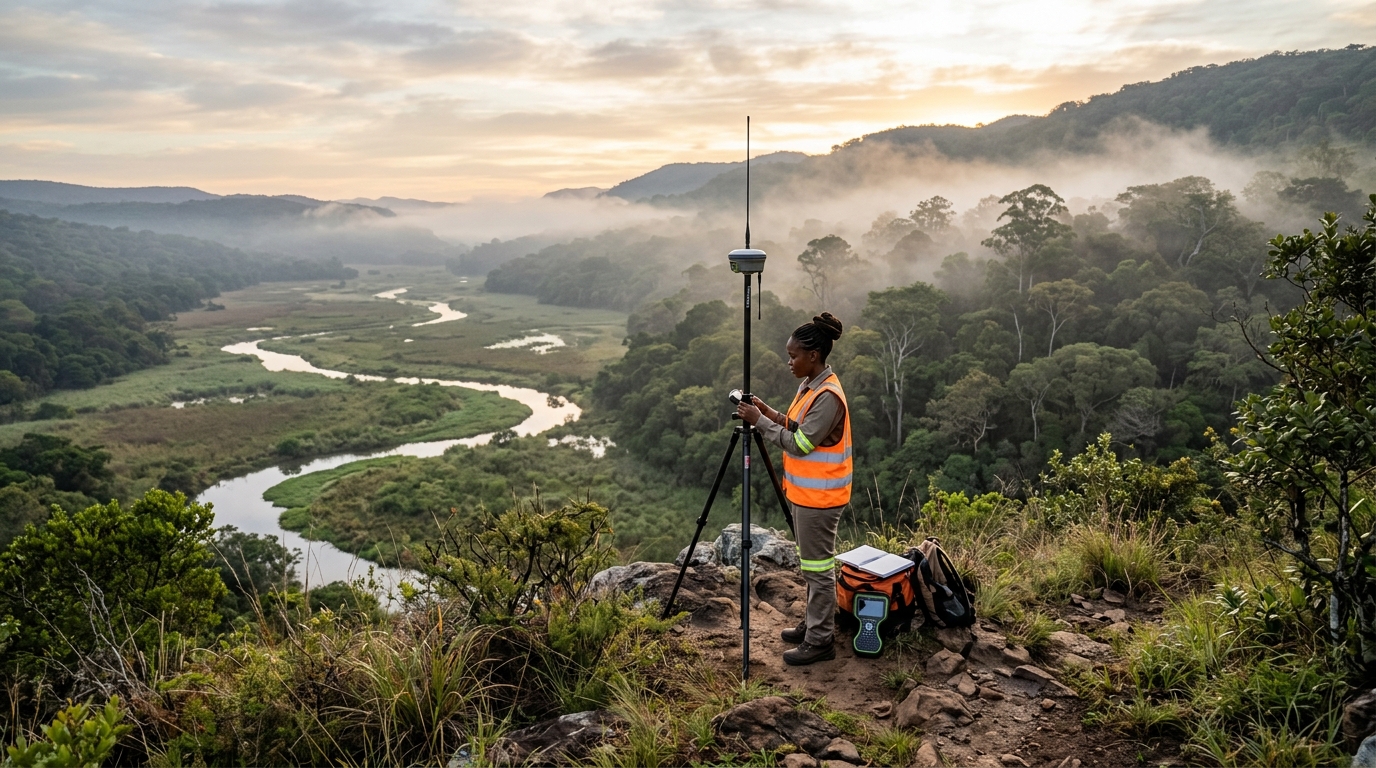
Land surveying plays a critical role in environmental conservation and resource management. By employing specialized techniques and technologies, land surveyors gather essential data that informs decision-making processes, facilitates sustainable practices, and helps preserve ecosystems. In this blog post, we will explore the significance of land surveying in environmental conservation and resource management.
- Mapping and Monitoring: Accurate mapping is a fundamental aspect of land surveying in environmental conservation. Surveyors utilize advanced tools such as Global Positioning System (GPS) and Geographic Information System (GIS) to map and monitor features like habitats, water bodies, and land boundaries. This information aids in identifying critical areas for conservation, assessing land use changes, and monitoring the health and dynamics of ecosystems over time. By providing precise spatial data, land surveying enables effective management and preservation of natural resources.
- Sustainable Land Use Planning: Land surveyors contribute to sustainable land use planning by assessing terrain characteristics, soil quality, and water availability. By mapping these factors, surveyors help identify suitable areas for different land uses, such as agriculture, urban development, and protected zones. They also consider environmental factors, such as biodiversity hotspots and sensitive habitats, to minimize the ecological impact of land development projects. Through their expertise, land surveyors ensure that land use decisions align with conservation goals and promote sustainable resource management.
- Natural Resource Inventories: Land surveying techniques are instrumental in conducting inventories of natural resources. Surveyors assess the quantity and quality of resources like forests, minerals, and water sources. They map forest cover, estimate timber volumes, and identify areas for sustainable logging practices. In the case of mineral resources, surveyors determine their location, extent, and accessibility, enabling responsible extraction and minimizing environmental disturbances. By conducting comprehensive inventories, land surveyors facilitate efficient resource management and contribute to conservation efforts.
- Environmental Impact Assessment: Before undertaking any development project, it is crucial to assess its potential environmental impacts. Land surveyors play a vital role in conducting Environmental Impact Assessments (EIAs) by gathering data on the project area’s physical characteristics, natural habitats, and ecosystems. Through topographic surveys, vegetation mapping, and hydrological assessments, surveyors identify potential risks and environmental sensitivities. This information supports project planning, enabling decision-makers to implement mitigation measures and minimize adverse impacts on the environment.
- Conservation of Protected Areas: Protected areas, such as national parks and wildlife reserves, are essential for biodiversity conservation. Land surveying is crucial for establishing and managing these areas effectively. Surveyors accurately map the boundaries of protected areas, ensuring their demarcation and preventing encroachments. They monitor land use changes and unauthorized activities within these areas, contributing to the enforcement of conservation regulations. By safeguarding protected areas, land surveyors play a crucial role in preserving wildlife habitats and maintaining ecological balance.
- Climate Change Assessment: Land surveying techniques are also valuable for assessing the impacts of climate change on the environment. Surveyors use elevation data, satellite imagery, and modeling tools to evaluate changes in coastal areas, wetlands, and other vulnerable ecosystems. They measure shoreline erosion, monitor sea-level rise, and identify areas at risk of flooding or land degradation. This data helps in developing adaptation strategies, designing resilient infrastructure, and implementing measures to mitigate climate change effects.
Conclusion
Land surveying serves as a key tool in environmental conservation and resource management. Through mapping, monitoring, and assessment, land surveyors provide vital data that informs sustainable practices, guides decision-making, and aids in the preservation of ecosystems. By integrating advanced technologies such as GPS, GIS, and remote sensing, surveyors contribute to accurate mapping, resource inventories, and environmental impact assessments. Their expertise plays a crucial role in promoting responsible land use, protecting natural resources, and ensuring the long-term sustainability of our environment.